
- Start >
- Groundwater >
- Waterlevel of upper layer >
- Bayern >
- UNTERE ISAR SP 61 >
- Master data

Master data UNTERE ISAR SP 61
Site number: 42604
Measuring point system: Staatliches Sondernetz
Community: Mamming
District: Dingolfing-Landau
Operator:  Wasserwirtschaftsamt Landshut
Aquifer:
Measurement site depth under ground: 7.50 m
Ground level: 345.15 m above sealevel
Easting: 765213 (ETRS89 / UTM Zone 32N)
Northing: 5395926
Observation period: 01.11.1979 to 14.07.2025
Hauptwerte (Tagesmittelwerte):
Maximum waterlevel (HHW): 343.38 m above sealevel
Mean waterlevel (MW): 341.78 m above sealevel
Minimum waterlevel (NNW): 341.24 m above sealevel
Mean Highest Groundwater Level (MHGW): 342.11 m above sealevel (Period: 01.11.1979 - 01.11.2025)
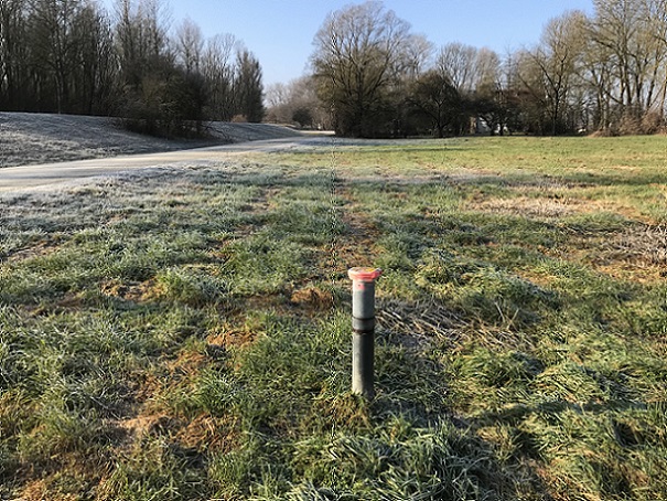
Picture of the measurement site
Location of the station UNTERE ISAR SP 61
| Measurement site | Category |
|---|---|
 Pfelling Pfelling | Rivers: Runoff, Waterlevel |
| Salching | Rivers: Runoff, Waterlevel |
| Haberkofen | Rivers: Runoff, Waterlevel |
| Landau | Rivers: Runoff, Waterlevel, Water temperature, Water temperature |