
- Start >
- Groundwater >
- Waterlevel of upper layer >
- Bayern >
- Kleinheubach Q 2 >
- Master data

Master data Kleinheubach Q 2
Site number: 4178
Measuring point system: Grundnetz
Community: Kleinheubach
District: Miltenberg
Operator:  Wasserwirtschaftsamt Aschaffenburg
Aquifer: Quartär
Measurement site depth under ground: 21.00 m
Ground level: 142.65 m above sealevel
Easting: 515322 (ETRS89 / UTM Zone 32N)
Northing: 5506499
Observation period: 07.10.2004 to 14.04.2026
Hauptwerte (Tagesmittelwerte):
Maximum waterlevel (HHW): 127.69 m above sealevel
Mean waterlevel (MW): 125.85 m above sealevel
Minimum waterlevel (NNW): 124.43 m above sealevel
Mean Highest Groundwater Level (MHGW): 126.13 m above sealevel (Period: 01.11.2003 - 01.11.2026)
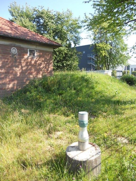
Picture of the measurement site
Location of the station Kleinheubach Q 2
| Measurement site | Category |
|---|---|
 Kleinheubach Kleinheubach | Rivers: Runoff, Waterlevel, Water temperature, Water temperature |
| Bischbrunn | Rivers: Runoff, Waterlevel |
| Bürgstadt | Rivers: Runoff, Waterlevel |
| Weilbach | Rivers: Runoff, Waterlevel |