
- Start >
- Groundwater >
- Waterlevel of upper layer >
- Bayern >
- Faulbach Q 1 >
- Master data

Master data Faulbach Q 1
Site number: 4177
Measuring point system: Grundnetz
Community: Faulbach
District: Miltenberg
Operator:  Wasserwirtschaftsamt Aschaffenburg
Aquifer: Quartär
Measurement site depth under ground: 12.29 m
Ground level: 146.93 m above sealevel
Easting: 531920 (ETRS89 / UTM Zone 32N)
Northing: 5515092
Observation period: 01.11.2001 to 04.12.2025
Hauptwerte (Tagesmittelwerte):
Maximum waterlevel (HHW): 141.45 m above sealevel
Mean waterlevel (MW): 139.08 m above sealevel
Minimum waterlevel (NNW): 137.44 m above sealevel
Mean Highest Groundwater Level (MHGW): 139.60 m above sealevel (Period: 01.11.2001 - 01.11.2026)
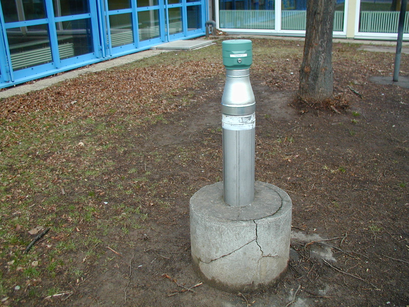
Picture of the measurement site
Location of the station Faulbach Q 1
| Measurement site | Category |
|---|---|
 Steinbach Steinbach | Rivers: Runoff, Waterlevel, Water temperature, Water temperature |
| Steinbach Q | Rivers: Runoff |
| Kleinheubach | Rivers: Runoff, Waterlevel, Water temperature, Water temperature |
| Partenstein | Rivers: Runoff, Waterlevel |