
- Start >
- Groundwater >
- Waterlevel of upper layer >
- Bayern >
- Mömlingen S 3 >
- Master data

Master data Mömlingen S 3
Site number: 4171
Measuring point system: Grundnetz
Community: Mömlingen
District: Miltenberg
Operator:  Wasserwirtschaftsamt Aschaffenburg
Aquifer: Unterer Buntsandstein
Measurement site depth under ground: 160.00 m
Ground level: 261.78 m above sealevel
Easting: 506539 (ETRS89 / UTM Zone 32N)
Northing: 5524053
Observation period: 05.07.1999 to 23.01.2026
Hauptwerte (Tagesmittelwerte):
Maximum waterlevel (HHW): 174.51 m above sealevel
Mean waterlevel (MW): 157.01 m above sealevel
Minimum waterlevel (NNW): 148.94 m above sealevel
Mean Highest Groundwater Level (MHGW): 160.33 m above sealevel (Period: 01.11.1998 - 01.11.2026)
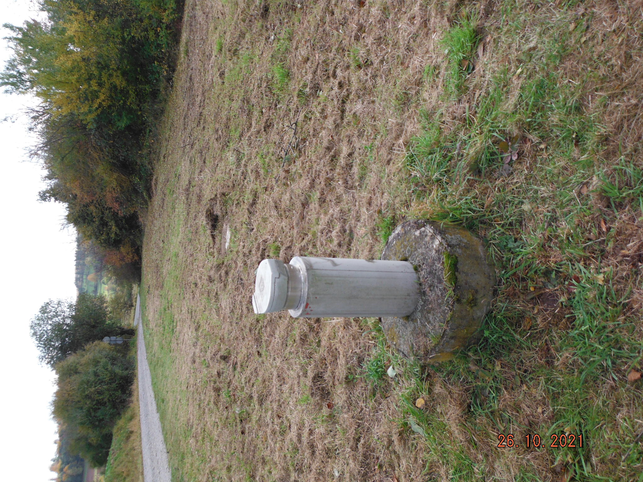
Picture of the measurement site
Location of the station Mömlingen S 3
| Measurement site | Category |
|---|---|
 Kleinheubach Kleinheubach | Rivers: Runoff, Waterlevel, Water temperature, Water temperature |
| Bürgstadt | Rivers: Runoff, Waterlevel |
| Weilbach | Rivers: Runoff, Waterlevel |
| Amorbach | Rivers: Runoff, Waterlevel |