
- Start >
- Rivers >
- Discharge >
- Bayern >
- Bad Königshofen im Grabfeld >
- Master data

Master data Bad Königshofen im Grabfeld
Site number: 24401001
Community: Bad Königshofen i.Grabfeld
District: Rhön-Grabfeld
Operator:  Wasserwirtschaftsamt Bad Kissingen
Body of water: Fränkische Saale
Catchment: 75.80 km2
River chainage: 127.00 km
Easting: 604622 (ETRS89 / UTM Zone 32N)
Northing: 5572579
Gauge zero point: 268.20 m NHN (DHHN2016)
Picture of the measurement site
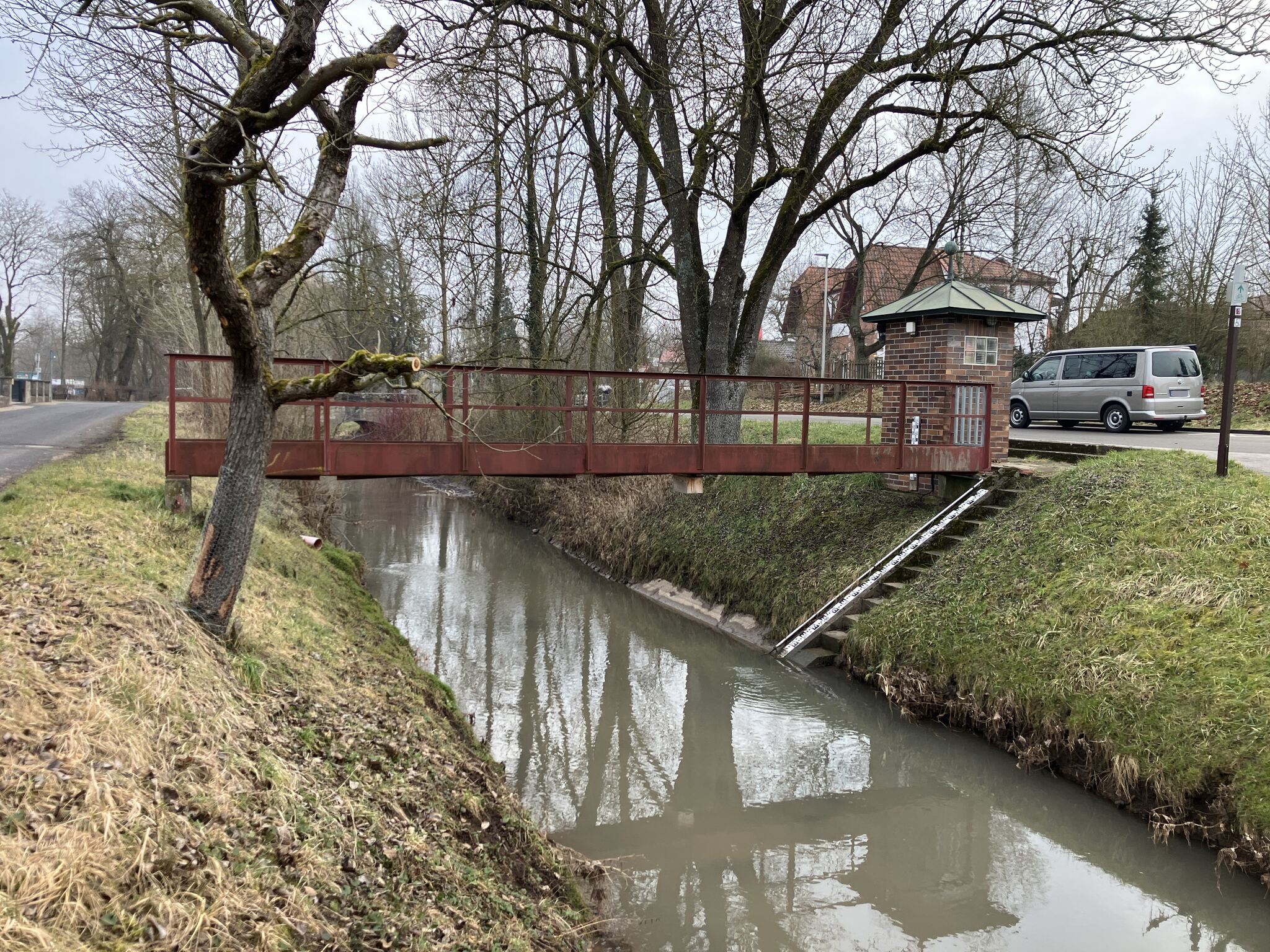
Location of the station Bad Königshofen im Grabfeld / Fränkische Saale
| Measurement site | Category |
|---|---|
 Lohr Lohr | Rivers: Runoff, Waterlevel |
| Römershofen | Rivers: Runoff, Waterlevel, Water temperature, Water temperature |
| Bad Königshofen im Grabfeld | Rivers: Runoff, Waterlevel |
| Gollmuthhausen | Rivers: Runoff, Waterlevel |
© Bayerisches Landesamt für Umwelt 2025