

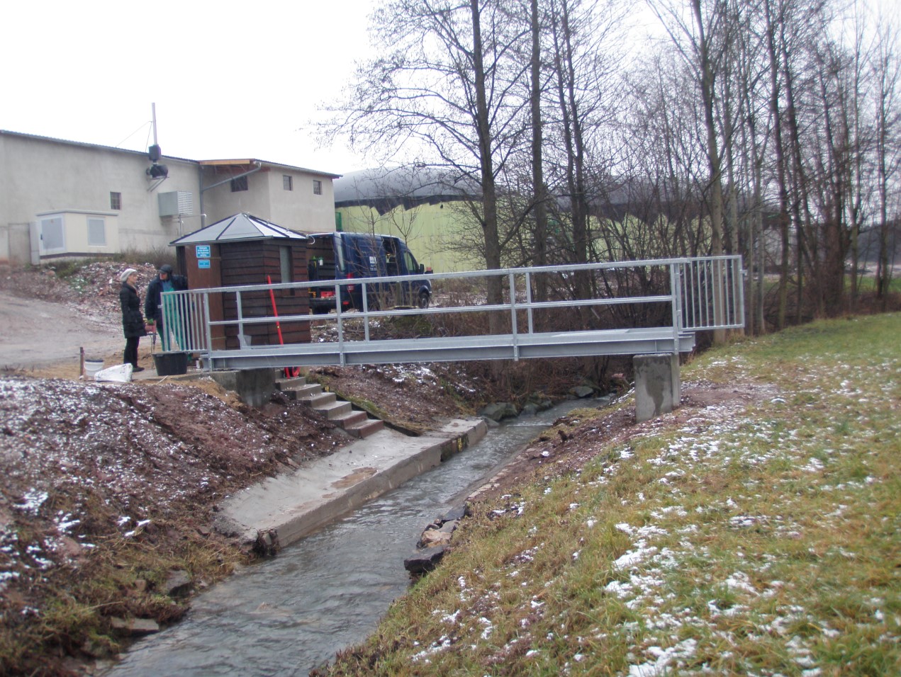
Master data Birk
Site number: 24127001
Community: Emtmannsberg
District: Bayreuth
Operator:  Wasserwirtschaftsamt Hof
Body of water: Almosbach
Catchment: 12.40 km2
River chainage: 1.10 km
Easting: 693612 (ETRS89 / UTM Zone 32N)
Northing: 5527762
Gauge zero point: 394.16 m NN (DHHN12)
Picture of the measurement site
Location of the station Birk / Almosbach
| Measurement site | Category |
|---|---|
 Unterbruck Unterbruck | Rivers: Runoff, Waterlevel |
| Unterbruck Flutmulde | Rivers: Runoff, Waterlevel |
| Grafenwöhr | Rivers: Runoff, Waterlevel |
| Gressenwöhr | Rivers: Runoff, Waterlevel |
© Bayerisches Landesamt für Umwelt 2025