
- Start >
- Groundwater >
- Waterlevel of upper layer >
- Bayern >
- H6-HWS Hirten >
- Master data

Master data H6-HWS Hirten
Site number: 23945
Measuring point system: Staatliches Sondernetz
Community: Burgkirchen a.d.Alz
District: Altötting
Operator:  Wasserwirtschaftsamt Traunstein
Aquifer:
Measurement site depth under ground: 10.00 m
Ground level: 421.72 m above sealevel
Easting: 771992 (ETRS89 / UTM Zone 32N)
Northing: 5339009
Observation period: 15.05.2014 to 19.11.2025
Hauptwerte (Tagesmittelwerte):
Maximum waterlevel (HHW): 419.81 m above sealevel
Mean waterlevel (MW): 418.95 m above sealevel
Minimum waterlevel (NNW): 418.65 m above sealevel
Mean Highest Groundwater Level (MHGW): 419.36 m above sealevel (Period: 01.11.2013 - 01.11.2026)
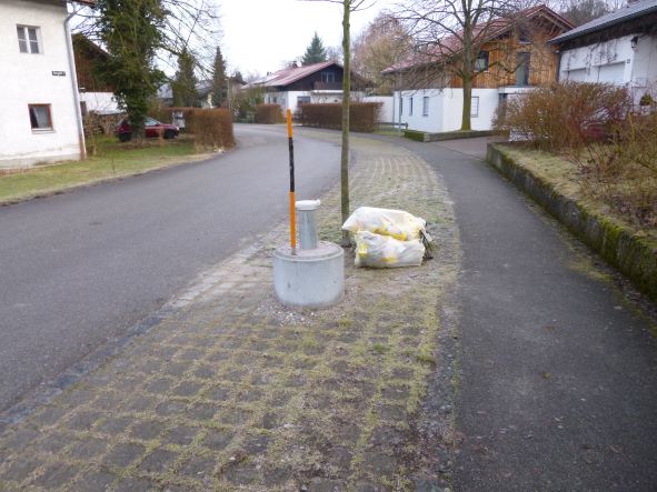
Picture of the measurement site
Location of the station H6-HWS Hirten
| Measurement site | Category |
|---|---|
 Kraiburg Kraiburg | Rivers: Runoff, Waterlevel |
| Mühldorf | Rivers: Runoff, Waterlevel |
| Eschelbach | Rivers: Runoff, Waterlevel, Suspended sediment |
| Eschelbach Q | Rivers: Runoff |