
- Start >
- Groundwater >
- Flow of springs >
- Bayern >
- Kaltenbrunnquelle >
- Master data

Master data Kaltenbrunnquelle
Site number: 23587
Measuring point system: Grundnetz
Community: Trostberg
District: Traunstein
Measurement data provided by:  Wasserwirtschaftsamt Traunstein
Aquifer: Quartär
Ground level: --
Easting: 765362 (ETRS89 / UTM Zone 32N)
Northing: 5326441
Observation period: 10.10.2011 to 05.12.2025
Hauptwerte (Tagesmittelwerte):
Maximum flow: 16.67 l/s
Mean flow: 8.55 l/s
Minimum flow: 5.33 l/s
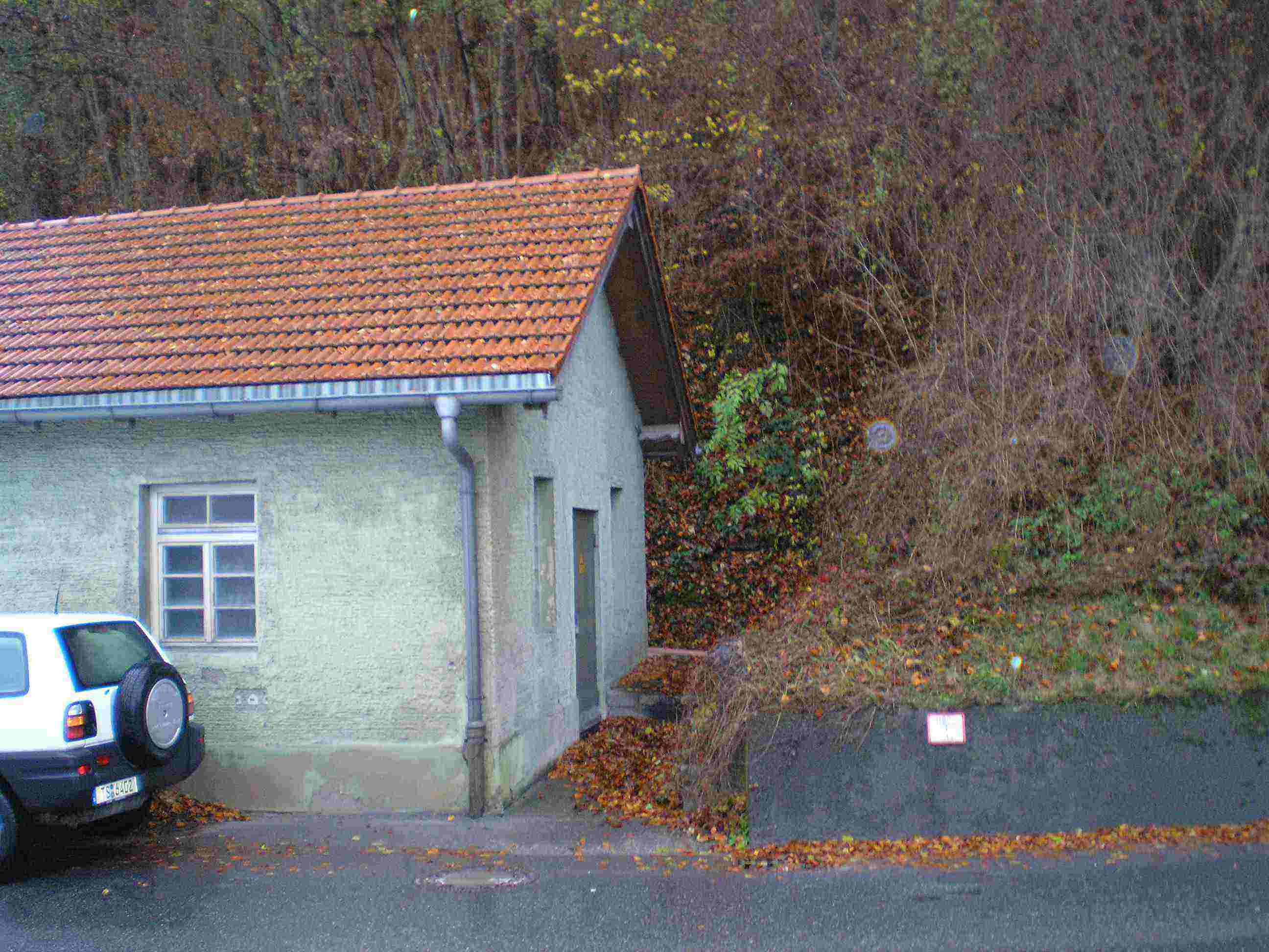
Picture of the measurement site
Location of the station Kaltenbrunnquelle
| Measurement site | Category |
|---|---|
 Kraiburg Kraiburg | Rivers: Runoff, Waterlevel |
| Mühldorf | Rivers: Runoff, Waterlevel |
| Eschelbach | Rivers: Runoff, Waterlevel, Suspended sediment |
| Eschelbach Q | Rivers: Runoff |
© Bayerisches Landesamt für Umwelt 2025