
- Start >
- Groundwater >
- Waterlevel of upper layer >
- Bayern >
- Gochsheim GWM 6 ku >
- Master data

Master data Gochsheim GWM 6 ku
Site number: 22215
Measuring point system: Staatliches Sondernetz
Community: Gochsheim
District: Schweinfurt
Operator:  Wasserwirtschaftsamt Bad Kissingen
Aquifer: Unterer Keuper
Measurement site depth under ground: --
Ground level: 232.13 m above sealevel
Easting: 592707 (ETRS89 / UTM Zone 32N)
Northing: 5540282
Observation period: 21.07.2020 to 05.12.2025
Hauptwerte (Tagesmittelwerte):
Maximum waterlevel (HHW): 233.68 m above sealevel
Mean waterlevel (MW): 232.18 m above sealevel
Minimum waterlevel (NNW): 230.69 m above sealevel
Mean Highest Groundwater Level (MHGW): 232.68 m above sealevel (Period: 01.11.2019 - 01.11.2026)
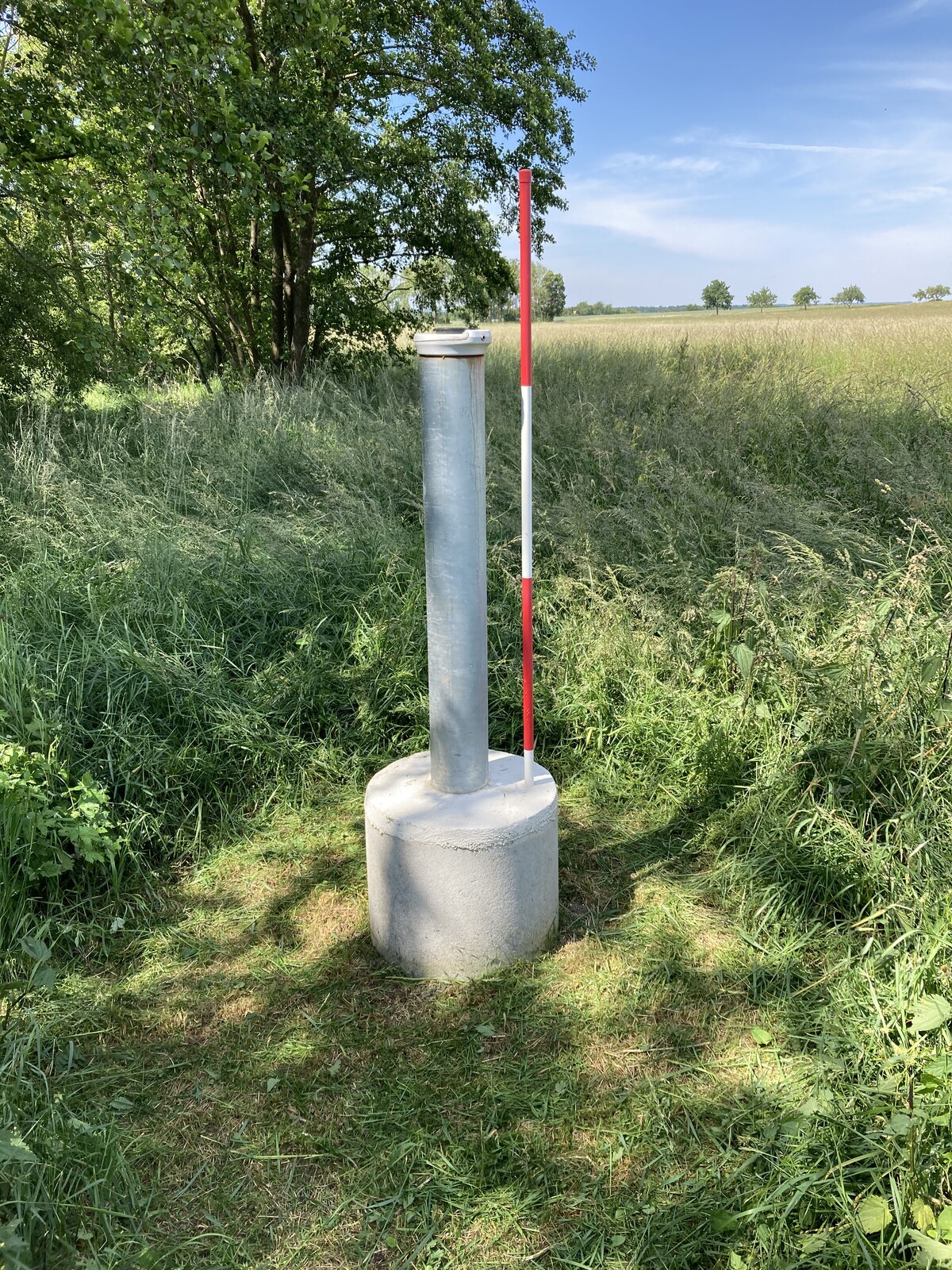
Picture of the measurement site
Location of the station Gochsheim GWM 6 ku
| Measurement site | Category |
|---|---|
 Schweinfurt Neuer Hafen Schweinfurt Neuer Hafen | Rivers: Runoff, Waterlevel, Water temperature, Water temperature |
| Römershofen | Rivers: Runoff, Waterlevel, Water temperature, Water temperature |
| Dingolshausen | Rivers: Runoff, Waterlevel |
| Brünnstadt | Rivers: Runoff, Waterlevel, Water temperature, Water temperature |