
- Start >
- Groundwater >
- Flow of springs >
- Bayern >
- Strahlfeld Quelle 1 >
- Master data

Master data Strahlfeld Quelle 1
Site number: 20563
Measuring point system: Grundnetz
Community: Roding
District: Cham
Measurement data provided by:  Wasserwirtschaftsamt Regensburg
Aquifer: Sonstige GwLeiter (allg.)
Ground level: 440.00 m above sealevel
Easting: 753085 (ETRS89 / UTM Zone 32N)
Northing: 5461292
Observation period: 11.10.2016 to 23.01.2026
Hauptwerte (Tagesmittelwerte):
Maximum flow: 16.08 l/s
Mean flow: 0.69 l/s
Minimum flow: 0.01 l/s
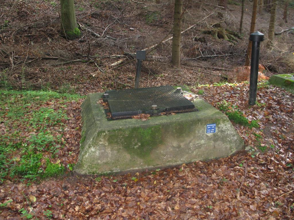
Picture of the measurement site
Location of the station Strahlfeld Quelle 1
| Measurement site | Category |
|---|---|
 Höll Höll | Rivers: Runoff, Waterlevel |
| Hocha Perlseeabfluss | Rivers: Runoff, Waterlevel |
| Rötz Speicherzufluss | Rivers: Runoff, Waterlevel |
| Eixendorf Speicherabfluss | Rivers: Runoff, Waterlevel |
© Bayerisches Landesamt für Umwelt 2026