
- Start >
- Groundwater >
- Waterlevel of upper layer >
- Bayern >
- SEIBERSDORF 562 >
- Master data

Master data SEIBERSDORF 562
Site number: 19118
Measuring point system: Grundnetz
Community: Kirchdorf a.Inn
District: Rottal-Inn
Operator:  Wasserwirtschaftsamt Deggendorf
Aquifer: Quartär
Measurement site depth under ground: 17.90 m
Ground level: 371.01 m above sealevel
Easting: 791196 (ETRS89 / UTM Zone 32N)
Northing: 5350183
Observation period: 02.02.1972 to 05.12.2025
Hauptwerte (Tagesmittelwerte):
Maximum waterlevel (HHW): 361.21 m above sealevel
Mean waterlevel (MW): 359.13 m above sealevel
Minimum waterlevel (NNW): 358.46 m above sealevel
Mean Highest Groundwater Level (MHGW): 359.80 m above sealevel (Period: 01.11.1971 - 01.11.2026)
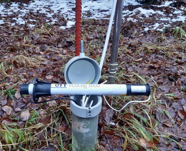
Picture of the measurement site
Location of the station SEIBERSDORF 562
| Measurement site | Category |
|---|---|
 Eschelbach Eschelbach | Rivers: Runoff, Waterlevel, Suspended sediment |
| Eschelbach Q | Rivers: Runoff |
| Burgkirchen | Rivers: Runoff, Waterlevel, Water temperature, Water temperature |
| Burgkirchen (virtuell) | Rivers: Runoff |