

Master data Vilseck
Site number: 14631005
Community: Vilseck
District: Amberg-Sulzbach
Operator:  Wasserwirtschaftsamt Weiden
Body of water: Schmalnohebach
Catchment: 35.70 km2
River chainage: 0.50 km
Easting: 702153 (ETRS89 / UTM Zone 32N)
Northing: 5500794
Gauge zero point: 395.82 m NHN (DHHN2016)
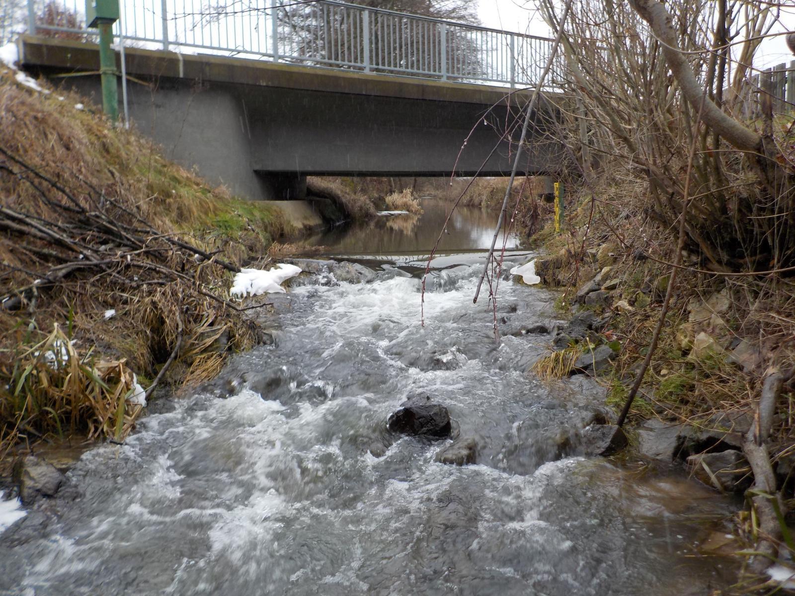
Picture of the measurement site
Location of the station Vilseck / Schmalnohebach
| Measurement site | Category |
|---|---|
 Friedersreuth Friedersreuth | Rivers: Runoff, Waterlevel |
| Hammerles | Rivers: Runoff, Waterlevel |
| Unterbruck | Rivers: Runoff, Waterlevel |
| Unterbruck Flutmulde | Rivers: Runoff, Waterlevel |
© Bayerisches Landesamt für Umwelt 2026