
- Start >
- Rivers >
- Waterlevel >
- Untere Donau >
- Schlehdorf >
- Chart of year

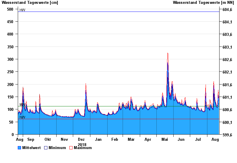
Chart of year Schlehdorf / Loisach
Waterlevel from 23.08.2018 to 22.08.2019
| Date | Mean value [cm] | Maximum [cm] | Minimum [cm] |
|---|---|---|---|
| 22.08.2019 | 133 | 144 | 124 |
| 21.08.2019 | 157 | 177 | 120 |
| 20.08.2019 | 109 | 120 | 107 |
| 19.08.2019 | 109 | 112 | 106 |
| 18.08.2019 | 110 | 113 | 107 |
| 17.08.2019 | 117 | 123 | 113 |
| 16.08.2019 | 129 | 133 | 123 |
© Bayerisches Landesamt für Umwelt 2024