
- Start >
- Rivers >
- Biology >
- Bayern >
- Zwickelsteig >
- Master data

Master data Zwickelsteig
Site number: 197753
Community: Philippsreuter Wald (gemfrei)
District: Freyung-Grafenau
Operator: WWA Deggendorf
Body of water: Schwarzbach
Catchment: --
Easting: 846206 (ETRS89 / UTM Zone 32N)
Northing: 5424330
- state measurement sites
For the measurement site Zwickelsteig at the moment no extended master data available.
Picture of the measurement site
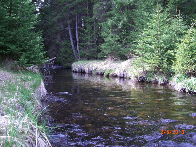
Location of the station Zwickelsteig / Schwarzbach
| Measurement site | Category |
|---|---|
 Unterkashof Unterkashof | Rivers: Runoff, Waterlevel |
| Linden | Rivers: Runoff, Waterlevel |
| Röhrnbach | Rivers: Runoff, Waterlevel |
| Waldkirchen | Rivers: Waterlevel |
| oh Weidhütte | Rivers: Chemistry, Biology |
| noerdl. Sonndorf (Standortuebungsplatz) | Rivers: Chemistry, Biology |
| Pegel Unterkashof | Rivers: Chemistry, Biology |
| Bruecke vor Muendung | Rivers: Chemistry, Biology |
| BRUECKE STAATSGRENZE | Rivers: Chemistry, Biology |
| Bruecke Haidmuehle | Rivers: Chemistry, Biology |
| Stadtpark Hauzenberg | Rivers: Chemistry, Biology |
| Schwarzenthal, oestliches Ortsende | Rivers: Chemistry, Biology |
| u.h. Micheleckmuehle | Rivers: Chemistry, Biology |
| suedoestl. Klafferstrass | Rivers: Chemistry, Biology |
| Furt suedlich Boehmzwiesel | Rivers: Chemistry, Biology |
| Zwickelsteig | Rivers: Chemistry, Biology |
| Rassreuth Quelle I | Groundwater: Flow of well |
| Pleckenstein I-IV | Groundwater: Flow of well |
| 4110734600004 | Groundwater: Chemistry |
| 4120714700137 | Groundwater: Chemistry |
| 4120724800003 | Groundwater: Chemistry |
| 4120734700009 | Groundwater: Chemistry |
| 4120714800047 | Groundwater: Chemistry |
| Kringell | Meteorology: Precipitation, Wind, Air temperatur, Air moisture, Global radiation |
| Hauzenberg (Straßenmeisterei) | Meteorology: Snow |
© Bayerisches Landesamt für Umwelt 2026