
- Start >
- Rivers >
- Biology >
- Bayern >
- Br. bei Krummensteg >
- Master data

Master data Br. bei Krummensteg
Site number: 114512
Community: Wasserburg (Bodensee)
District: Lindau (Bodensee)
Operator: WWA Kempten
Body of water: Nonnenbach
Catchment: --
Easting: 547698 (ETRS89 / UTM Zone 32N)
Northing: 5271315
- state measurement sites
For the measurement site Br. bei Krummensteg at the moment no extended master data available.
Picture of the measurement site
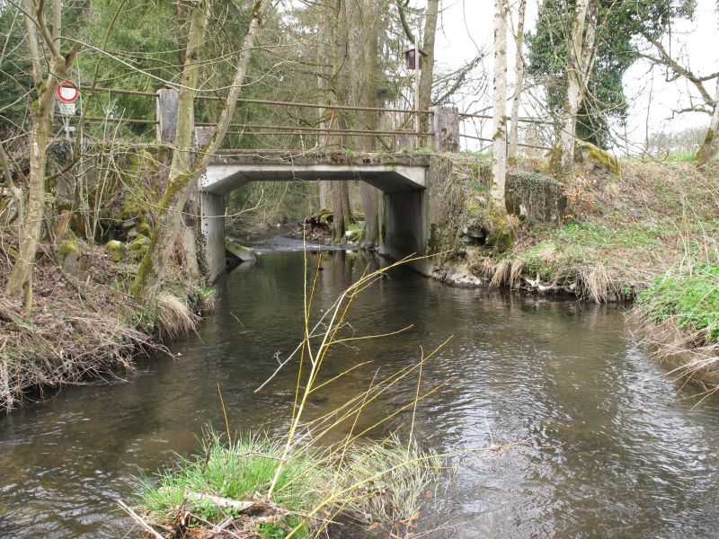
Location of the station Br. bei Krummensteg / Nonnenbach
| Measurement site | Category |
|---|---|
 Aeschach Aeschach | Rivers: Runoff, Waterlevel |
| Lindau | Lakes: Waterlevel, Water temperature, Water temperature |
| Uh. Grenze Hörbranz | Rivers: Chemistry, Biology |
| Oh. Mdg. Wolfsbach | Rivers: Chemistry, Biology |
| Oh. Mdg. | Rivers: Chemistry, Biology |
| Tiefste Stelle - Station Fischbach-Uttwill | Lakes: Chemistry |
| oh. Staatsgrenze | Rivers: Chemistry, Biology |
| oh. Mdg. Rickenbach | Rivers: Chemistry, Biology |
| Oh. Mdg. Leiblach | Rivers: Chemistry, Biology |
| Straßenbr. oh. Untermooweiler | Rivers: Chemistry, Biology |
| Lindau-Zech oh. Mündung | Rivers: Chemistry |
| Strabrü Siebers-Eyenbach | Rivers: Chemistry, Biology |
| Br. bei Krummensteg | Rivers: Biology |
| HANDWERKS/MUELHA. 794 | Groundwater: Upper groundwater layer |
| Handwerksgruppe Sigmarszell GWM 3/05 WV | Groundwater: Upper groundwater layer |
| 4110832500009 | Groundwater: Chemistry |
| 4120842400050 | Groundwater: Chemistry |
| Schwand | Meteorology: Precipitation, Wind, Air temperatur, Air moisture |
| Streitelsfingen | Meteorology: Precipitation, Wind, Air temperatur, Air moisture |
| Schönau | Meteorology: Precipitation, Wind, Air temperatur, Air moisture, Global radiation |
© Bayerisches Landesamt für Umwelt 2026