
- Start >
- Lakes >
- Watertemperature >
- Iller - Lech - Bodensee >
- Lindau >
- Master data

Master data Lindau
Site number: 20001001
Community: Lindau (Bodensee)
District: Lindau (Bodensee)
Operator:  Wasserwirtschaftsamt Kempten
Body of water: Bodensee
Easting: 551547 (ETRS89 / UTM Zone 32N)
Northing: 5265910
Ground level: 392.00 m above sealevel
Observed since: 2004
Maximum watertemperature since 2004: 27.7 °C
Mean watertemperature since 2004: 13.2 °C
Minimum watertemperature since 2004: -0.2 °C
Picture of the measurement site
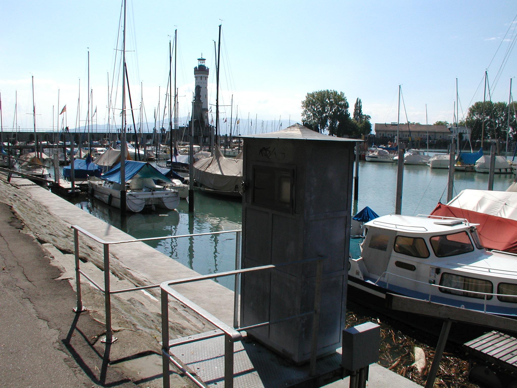
Location of the station Lindau / Bodensee
| Measurement site | Category |
|---|---|
 Aeschach Aeschach | Rivers: Runoff, Waterlevel |
| Lindau | Lakes: Waterlevel, Water temperature, Water temperature |
| Uh. Grenze Hörbranz | Rivers: Chemistry, Biology |
| Oh. Lacherhofbach, uh. ehem. KA Weiler | Rivers: Chemistry, Biology |
| Oh. Mdg. Wolfsbach | Rivers: Chemistry, Biology |
| Oh. Mdg. | Rivers: Chemistry, Biology |
| Tiefste Stelle - Station Fischbach-Uttwill | Lakes: Chemistry |
| oh. Staatsgrenze | Rivers: Chemistry, Biology |
| oh. Mdg. Rickenbach | Rivers: Chemistry, Biology |
| Oh. Mdg. Leiblach | Rivers: Chemistry, Biology |
| Straßenbr. oh. Untermooweiler | Rivers: Chemistry, Biology |
| Lindau-Zech oh. Mündung | Rivers: Chemistry |
| Strabrü Siebers-Eyenbach | Rivers: Chemistry, Biology |
| Br. bei Krummensteg | Rivers: Biology |
| HANDWERKS/MUELHA. 794 | Groundwater: Upper groundwater layer |
| Handwerksgruppe Sigmarszell GWM 3/05 WV | Groundwater: Upper groundwater layer |
| 4110832500009 | Groundwater: Chemistry |
| 4120842400050 | Groundwater: Chemistry |
| Weiler-Simmerberg (Kläranlage) | Meteorology: Precipitation, Snow |
| Schwand | Meteorology: Precipitation, Wind, Air temperatur, Air moisture |
| Streitelsfingen | Meteorology: Precipitation, Wind, Air temperatur, Air moisture |
| Schönau | Meteorology: Precipitation, Wind, Air temperatur, Air moisture, Global radiation |
© Bayerisches Landesamt für Umwelt 2026