
- Start >
- Lakes >
- Chemistry >
- Obere Donau >
- Tiefste Stelle, Boje Seemitte >
- Master data

Master data Tiefste Stelle, Boje Seemitte
Site number: 2216
Community: Pfofeld
District: Weißenburg-Gunzenhaus.
Operator: WWA Ansbach
Body of water: Kleiner Brombachsee
Catchment: 24.60 km2
Easting: 637846 (ETRS89 / UTM Zone 32N)
Northing: 5444176
- state measurement sites
For the measurement site Tiefste Stelle, Boje Seemitte at the moment no extended master data available.
Picture of the measurement site
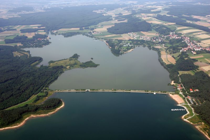
Location of the station Tiefste Stelle, Boje Seemitte / Kleiner Brombachsee
| Measurement site | Category |
|---|---|
 Treuchtlingen Treuchtlingen | Rivers: Runoff, Waterlevel |
| Roth Kläranlage | Rivers: Runoff, Waterlevel |
| Weißenburg | Rivers: Runoff, Waterlevel |
| Mühlstetten | Rivers: Runoff, Waterlevel, Water temperature, Water temperature |
© Bayerisches Landesamt für Umwelt 2024