
- Start >
- Groundwater >
- Waterlevel of upper layer >
- Bayern >
- Kothen S5 >
- Master data

Master data Kothen S5
Site number: 22013
Measuring point system: Grundnetz
Community: Motten
District: Bad Kissingen
Operator:  Wasserwirtschaftsamt Bad Kissingen
Aquifer: Buntsandstein
Measurement site depth under ground: 65.00 m
Ground level: 413.82 m above sealevel
Easting: 555898 (ETRS89 / UTM Zone 32N)
Northing: 5580806
Observation period: 03.12.2001 to 12.04.2026
Hauptwerte (Tagesmittelwerte):
Maximum waterlevel (HHW): 406.78 m above sealevel
Mean waterlevel (MW): 403.15 m above sealevel
Minimum waterlevel (NNW): 401.01 m above sealevel
Mean Highest Groundwater Level (MHGW): 405.86 m above sealevel (Period: 01.11.2001 - 01.11.2026)
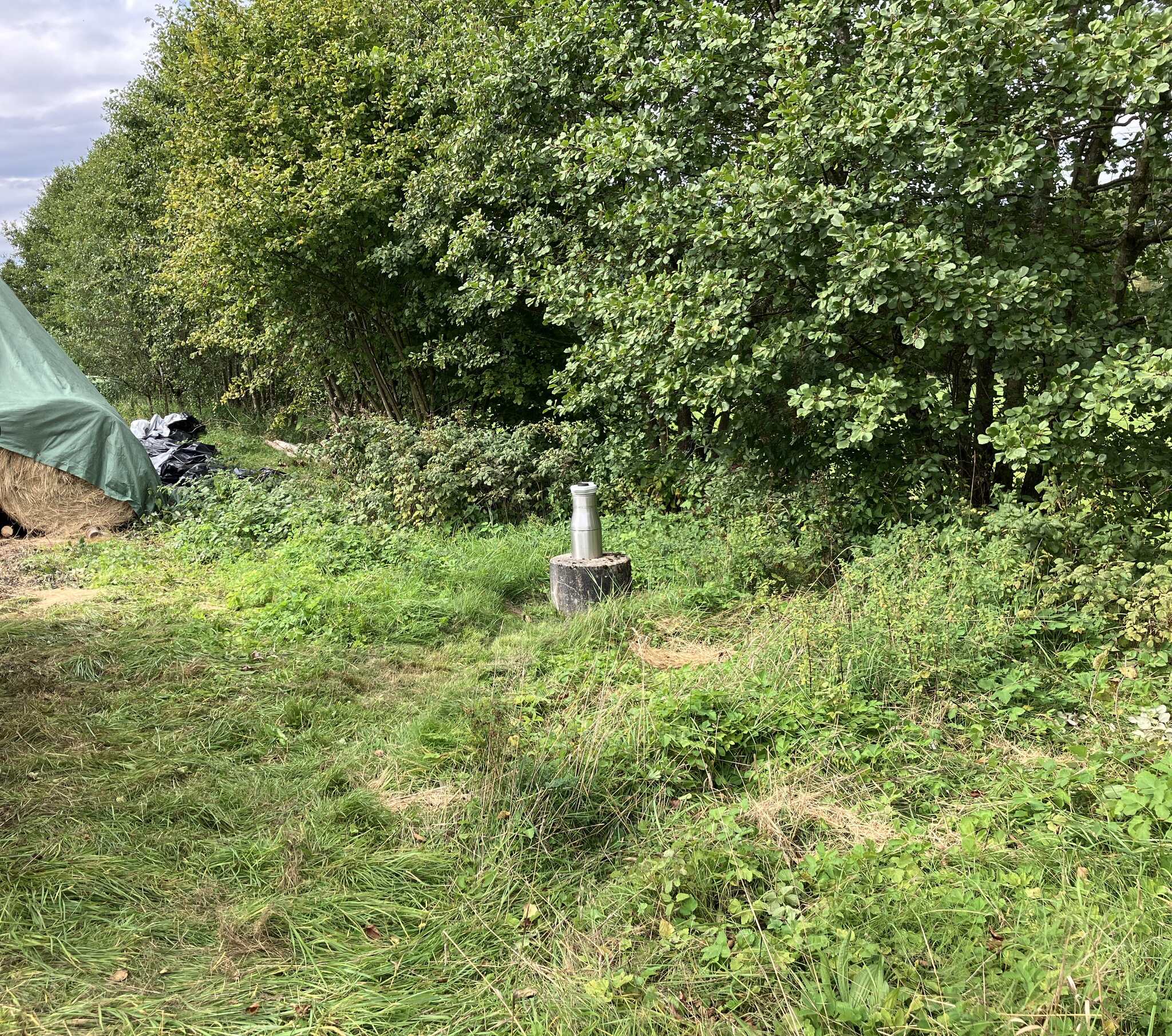
Picture of the measurement site
Location of the station Kothen S5
| Measurement site | Category |
|---|---|
 Waldberg Waldberg | Rivers: Runoff, Waterlevel |
| Oberthulba | Rivers: Runoff, Waterlevel |
| Schlimpfhof | Rivers: Runoff, Waterlevel |
| Gräfendorf | Rivers: Runoff, Waterlevel, Water temperature, Water temperature |
| Bad Brückenau | Rivers: Runoff, Waterlevel, Water temperature, Water temperature |
| Mittelsinn | Rivers: Runoff, Waterlevel, Water temperature, Water temperature |
| Bad Brückenau Staatsbad | Rivers: Waterlevel |
| Thulba, uh ehem. KA | Rivers: Chemistry, Biology |
| km 1,45 2.Br. oh Burgsinn | Rivers: Chemistry, Biology |
| Zeitlofs | Rivers: Chemistry |
| Oberbach, oh. KA | Rivers: Chemistry, Biology |
| km 2,75 oh Wehr | Rivers: Chemistry, Biology |
| km 18,5 oh Burgsinn | Rivers: Chemistry, Biology |
| Bad Brückenau, Pegel Chemie | Rivers: Chemistry |
| Bad Brückenau, Pegel | Rivers: Chemistry, Biology |
| Heiligkreuz | Rivers: Chemistry |
| Borstmühle, oh | Rivers: Biology |
| Kothen S5 | Groundwater: Upper groundwater layer |
| Windheim S7 | Groundwater: Deep groundwater layer |
| Sulzthalquelle | Groundwater: Flow of well, Temperature of springs |
| Seeleinsquelle-Heiligkreuz | Groundwater: Flow of well, Temperature of springs |
| Brunnenquelle Mittelsinn 2/5 | Groundwater: Flow of well, Temperature of springs |
| Waldbrunnen 2/3 | Groundwater: Flow of well, Temperature of springs |
| Obersinn | Groundwater: Upper groundwater layer |
| Bischofsheim S2 | Groundwater: Deep groundwater layer |
| Gefäll S4 | Groundwater: Deep groundwater layer |
| Oberthulba B 212 | Groundwater: Upper groundwater layer |
| Schönderling S6 | Groundwater: Upper groundwater layer |
| Heiligkreuz S8 | Groundwater: Upper groundwater layer |
| Fellen S 4 | Groundwater: Upper groundwater layer |
| Poppenroth sm 1 | Groundwater: Upper groundwater layer |
| 4120582300009 | Groundwater: Chemistry |
| 1131582300072 | Groundwater: Chemistry |
| 4110562500005 | Groundwater: Chemistry |
| 4120572400022 | Groundwater: Chemistry |
| 4120572500002 | Groundwater: Chemistry |
| 4120582600038 | Groundwater: Chemistry |
| 4110562400002 | Groundwater: Chemistry |
| 1132572400082 | Groundwater: Chemistry |
| 1132572500091 | Groundwater: Chemistry |
| 1132572600084 | Groundwater: Chemistry |
| 4120582500022 | Groundwater: Chemistry |
| 1132582500142 | Groundwater: Chemistry |
| 4120552500012 | Groundwater: Chemistry |
| 4120552400003 | Groundwater: Chemistry |
| 1131582500143 | Groundwater: Chemistry |
| Brückenau Staatsbad | Meteorology: Precipitation, Snow, Wind, Air pressure, Global radiation |
| Hammelburg-Seeshof | Meteorology: Precipitation, Wind, Air temperatur, Air moisture, Global radiation |
| Bischofsheim/Rhön-Türmchen | Meteorology: Snow |