
- Start >
- Groundwater >
- Waterlevel of upper layer >
- Bayern >
- Vötting >
- Master data

Master data Vötting
Site number: 16711
Measuring point system: Staatliches Sondernetz
Community: Freising
District: Freising
Operator:  Wasserwirtschaftsamt München
Aquifer:
Measurement site depth under ground: 7.55 m
Ground level: 446.67 m above sealevel
Easting: 700441 (ETRS89 / UTM Zone 32N)
Northing: 5362766
Observation period: 17.08.2009 to 02.01.2026
Hauptwerte (Tagesmittelwerte):
Maximum waterlevel (HHW): 446.58 m above sealevel
Mean waterlevel (MW): 445.87 m above sealevel
Minimum waterlevel (NNW): 445.40 m above sealevel
Mean Highest Groundwater Level (MHGW): 446.24 m above sealevel (Period: 01.11.2008 - 01.11.2026)
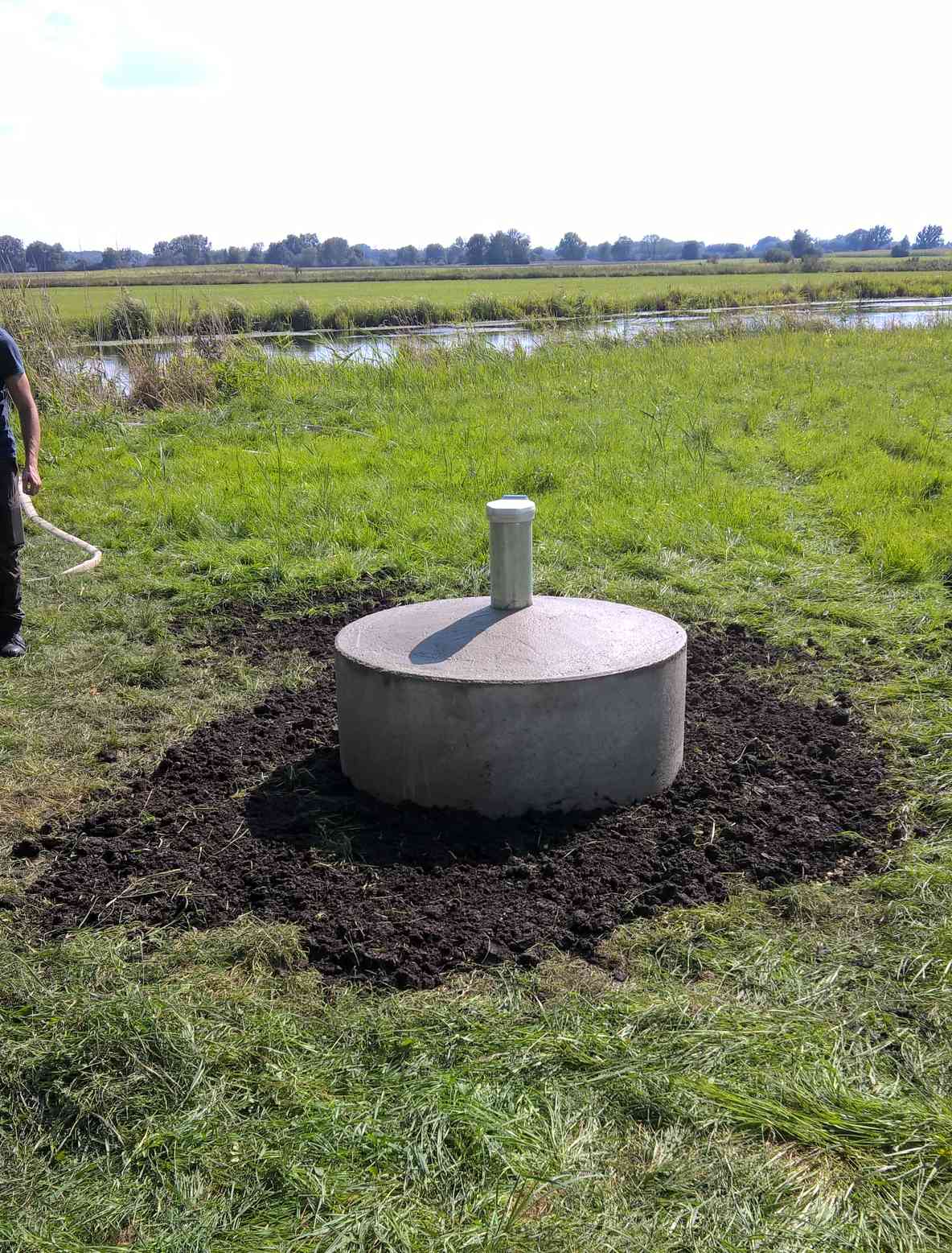
Picture of the measurement site
Location of the station Vötting
| Measurement site | Category |
|---|---|
 Pfaffenhofen Pfaffenhofen | Rivers: Runoff, Waterlevel |
| Wolnzach | Rivers: Runoff, Waterlevel, Water temperature, Water temperature |
| München | Rivers: Runoff, Waterlevel, Water temperature, Water temperature, Suspended sediment |
| München (virtuell) | Rivers: Runoff |