
- Startseite >
- Flüsse >
- Wasserstand >
- Unterer Main >
- Münnerstadt >
- Jahresgrafik

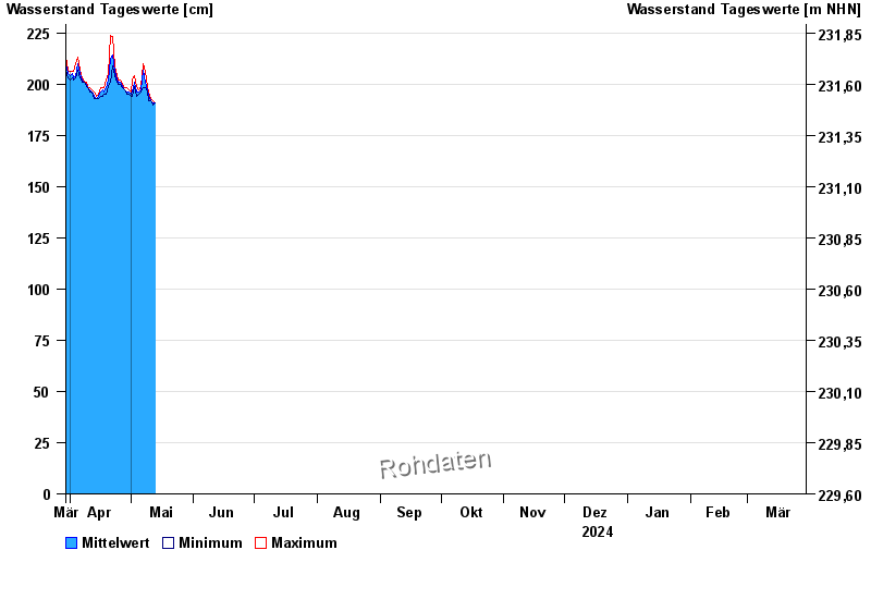
Jahresgrafik Münnerstadt / Lauer
Wasserstand vom 30.03.2024 bis zum 29.03.2025
- 03.01.2003 Wasserstand: 391 cm
- 28.01.2011 Wasserstand: 375 cm
- 23.01.1995 Wasserstand: 371 cm
- 29.01.1995 Wasserstand: 360 cm
- 23.04.1989 Wasserstand: 358 cm
| Datum | Mittelwert [cm] | Maximum [cm] | Minimum [cm] |
|---|---|---|---|
| 15.05.2024 | 190 | 190 | 188 |
| 14.05.2024 | 190 | 190 | 188 |
| 13.05.2024 | 190 | 191 | 189 |
| 12.05.2024 | 191 | 192 | 190 |
| 11.05.2024 | 192 | 193 | 192 |
| 10.05.2024 | 194 | 196 | 192 |
| 09.05.2024 | 197 | 199 | 196 |
© Bayerisches Landesamt für Umwelt 2024