
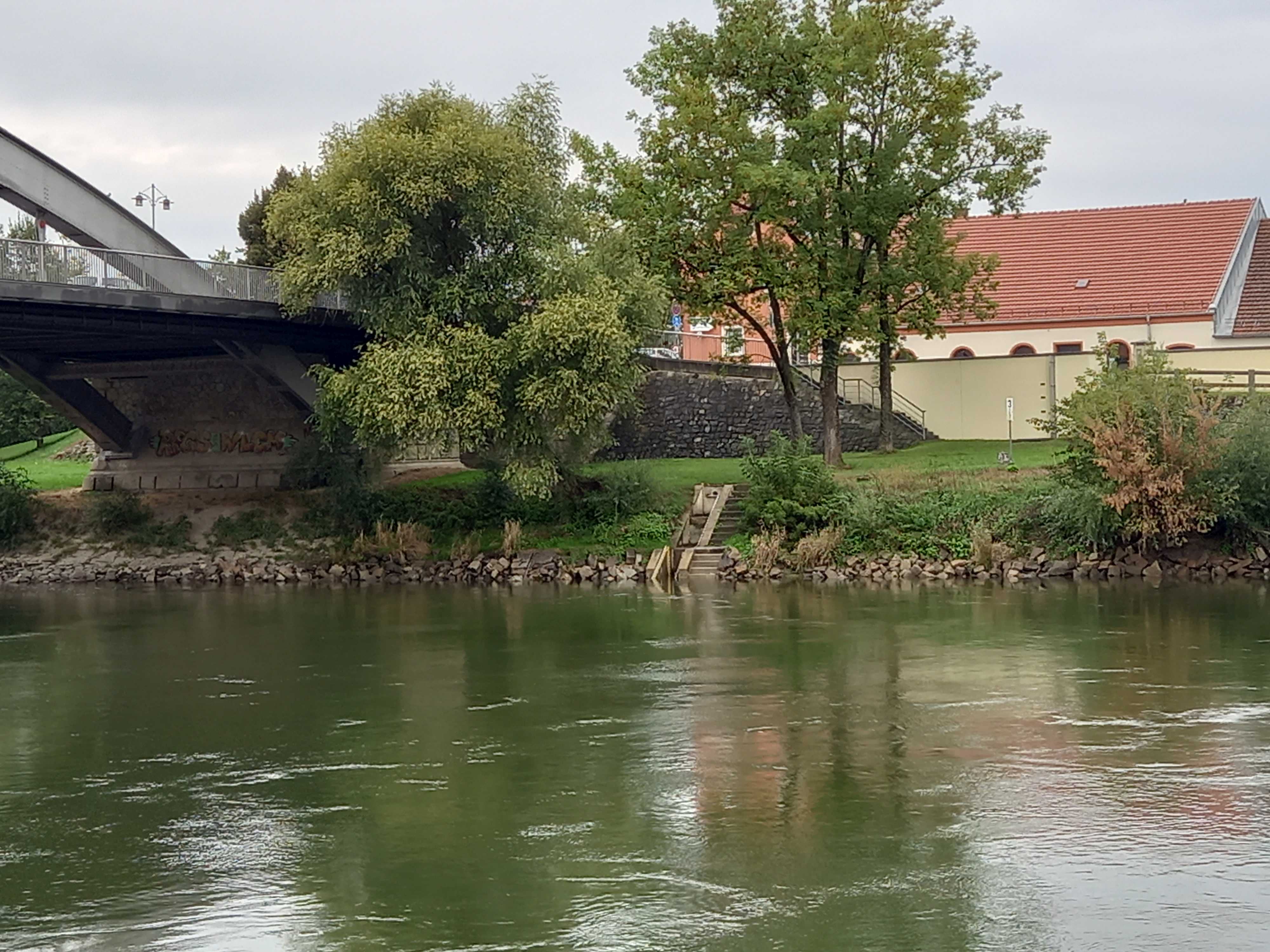
Stammdaten Straubing / Donau
| Stammdaten Straubing | |
|---|---|
| Messstellen-Nr. | 10074009 |
| Gemeinde | Straubing |
| Landkreis | Straubing |
| Betreiber | |
| Gewässer | Donau |
| Einzugsgebiet | 37035,20 km2 |
| Flusskilometer | 2.321,29 km |
| Ostwert | 761983 (ETRS89 / UTM Zone 32N) |
| Nordwert | 5420986 |
| Pegelnullpunktshöhe | 311,40 m NHN (DHHN2016) |
Foto
Lage
| Messstelle | Rubrik |
|---|---|
| Flüsse: Abfluss, Wasserstand | |
| Flüsse: Abfluss, Wasserstand | |
| Flüsse: Abfluss, Wasserstand, Schwebstoff | |
| Flüsse: Abfluss, Wasserstand |