

Stammdaten Bayreuth / Roter Main
| Stammdaten Bayreuth | |
|---|---|
| Messstellen-Nr. | 24123000 |
| Gemeinde | Bayreuth |
| Landkreis | Bayreuth |
| Betreiber | |
| Gewässer | Roter Main |
| Einzugsgebiet | 330,80 km2 |
| Flusskilometer | 32,84 km |
| Ostwert | 684092 (ETRS89 / UTM Zone 32N) |
| Nordwert | 5536127 |
| Pegelnullpunktshöhe | 328,85 m NHN (DHHN2016) |
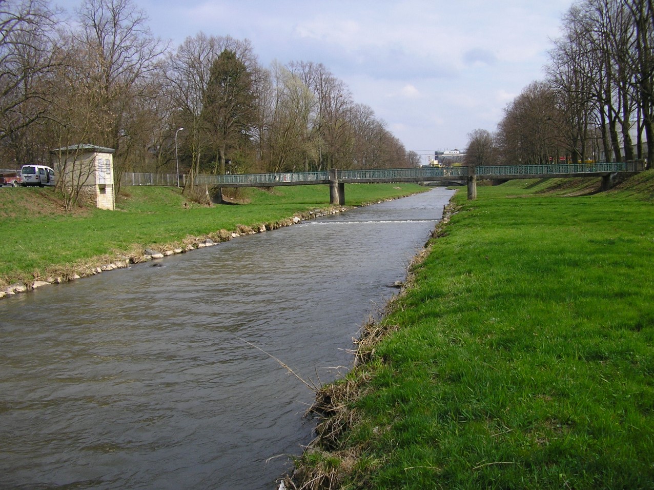
Foto
Lage
| Messstelle | Rubrik |
|---|---|
| Flüsse: Abfluss, Wasserstand, Wassertemperatur, Wassertemperatur | |
| Flüsse: Abfluss, Wasserstand | |
| Flüsse: Abfluss, Wasserstand, Wassertemperatur, Wassertemperatur | |
| Flüsse: Abfluss, Wasserstand |