
- Start >
- Groundwater >
- Flow of springs >
- Bayern >
- Dammbach S 2 >
- Master data

Master data Dammbach S 2
Site number: 4170
Measuring point system: Grundnetz
Community: Dammbach
District: Aschaffenburg
Measurement data provided by:  Wasserwirtschaftsamt Aschaffenburg
Aquifer: Unterer Buntsandstein
Ground level: 395.66 m above sealevel
Easting: 523149 (ETRS89 / UTM Zone 32N)
Northing: 5521910
Observation period: - to -
Maximum flow: --
Mean flow: --
Minimum flow: --
Picture of the measurement site
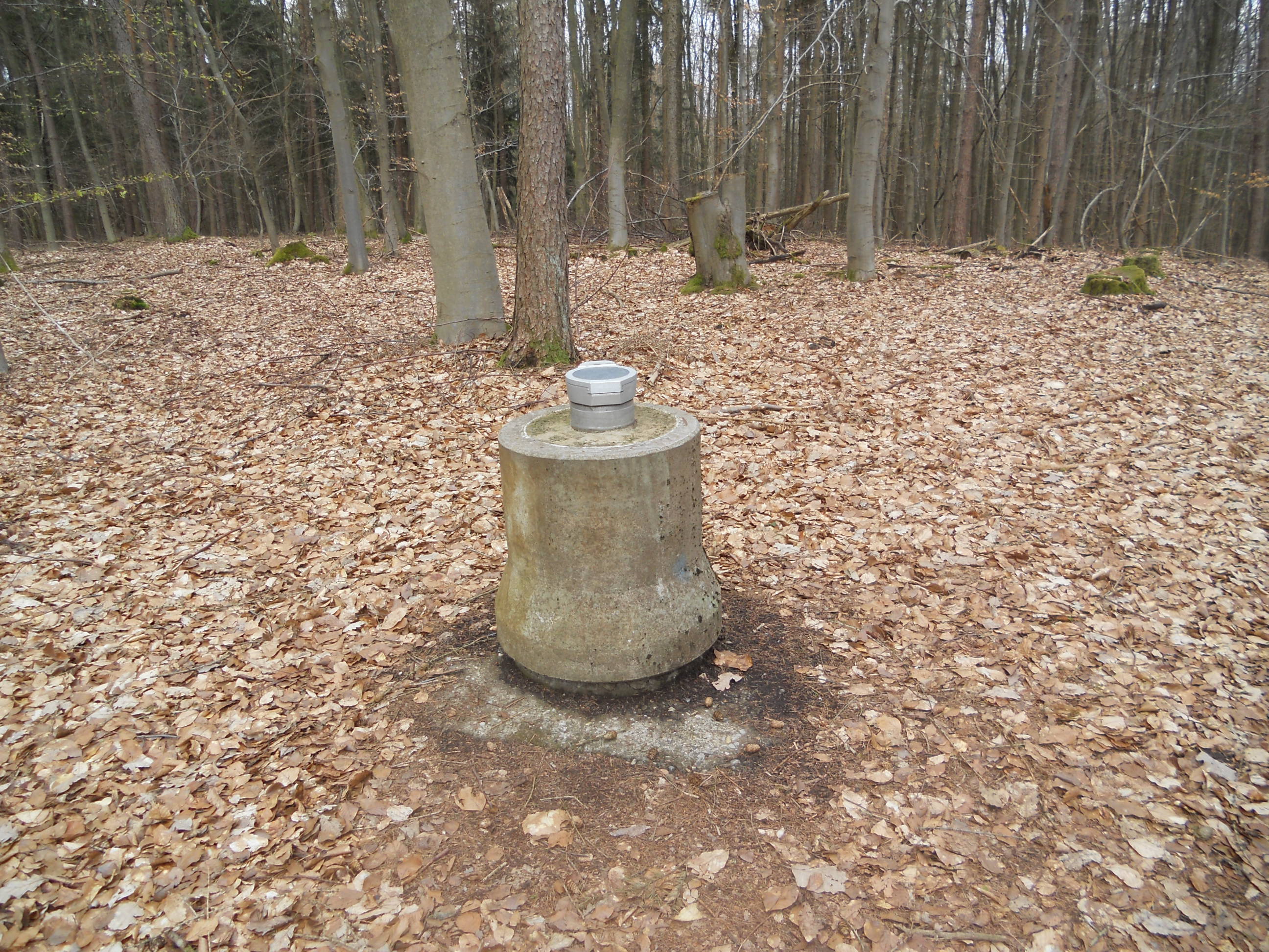
Location of the station Dammbach S 2
| Measurement site | Category |
|---|---|
 Frammersbach Frammersbach | Rivers: Runoff, Waterlevel |
| Partenstein | Rivers: Runoff, Waterlevel |
| Weilbach | Rivers: Runoff, Waterlevel |
| Rück | Rivers: Runoff, Waterlevel |
© Bayerisches Landesamt für Umwelt 2024