
- Start >
- Groundwater >
- Flow of springs >
- Bayern >
- Uttlau Quellen 1+2 >
- Master data

Master data Uttlau Quellen 1+2
Site number: 19515
Measuring point system: Grundnetz
Community: --
District: Passau
Measurement data provided by:  Wasserwirtschaftsamt Deggendorf
Aquifer:
Ground level: 450.00 m above sealevel
Easting: 808836 (ETRS89 / UTM Zone 32N)
Northing: 5377396
Observation period: 21.06.2016 to 07.02.2024
Maximum flow: 5.29 l/s
Mean flow: 0.82 l/s
Minimum flow: 0.00 l/s
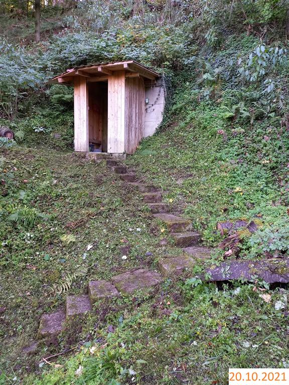
Picture of the measurement site
Location of the station Uttlau Quellen 1+2
| Measurement site | Category |
|---|---|
 Hofkirchen Hofkirchen | Rivers: Runoff, Waterlevel |
| Grafenmühle | Rivers: Runoff, Waterlevel, Water temperature, Water temperature |
| Bruckhäuser | Rivers: Runoff, Waterlevel |
| Neustift | Rivers: Runoff, Waterlevel |
© Bayerisches Landesamt für Umwelt 2024