
- Start >
- Groundwater >
- Flow of springs >
- Bayern >
- Widderquellen I-III >
- Master data

Master data Widderquellen I-III
Site number: 18514
Measuring point system: Grundnetz
Community: Grafenau
District: Freyung-Grafenau
Measurement data provided by:  Wasserwirtschaftsamt Deggendorf
Aquifer: Kristallines Grundgebirge
Ground level: 705.00 m above sealevel
Easting: 827278 (ETRS89 / UTM Zone 32N)
Northing: 5421272
Observation period: 27.06.2011 to 22.04.2024
Maximum flow: 6.59 l/s
Mean flow: 2.92 l/s
Minimum flow: 1.01 l/s
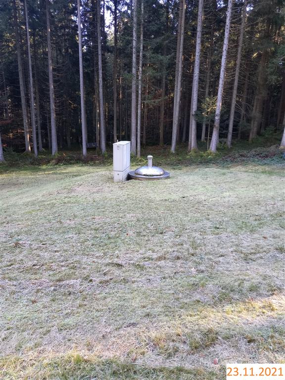
Picture of the measurement site
Location of the station Widderquellen I-III
| Measurement site | Category |
|---|---|
 Zwiesel Zwiesel | Rivers: Runoff, Waterlevel |
| Zwiesel | Rivers: Runoff, Waterlevel, Water temperature, Water temperature |
| Hörmannsberg | Rivers: Runoff, Waterlevel |
| Schrottenbaummühle | Rivers: Runoff, Waterlevel |
© Bayerisches Landesamt für Umwelt 2024