
- Start >
- Groundwater >
- Waterlevel of deep layer >
- Bayern >
- Weilbach-Gönz S 6 >
- Master data

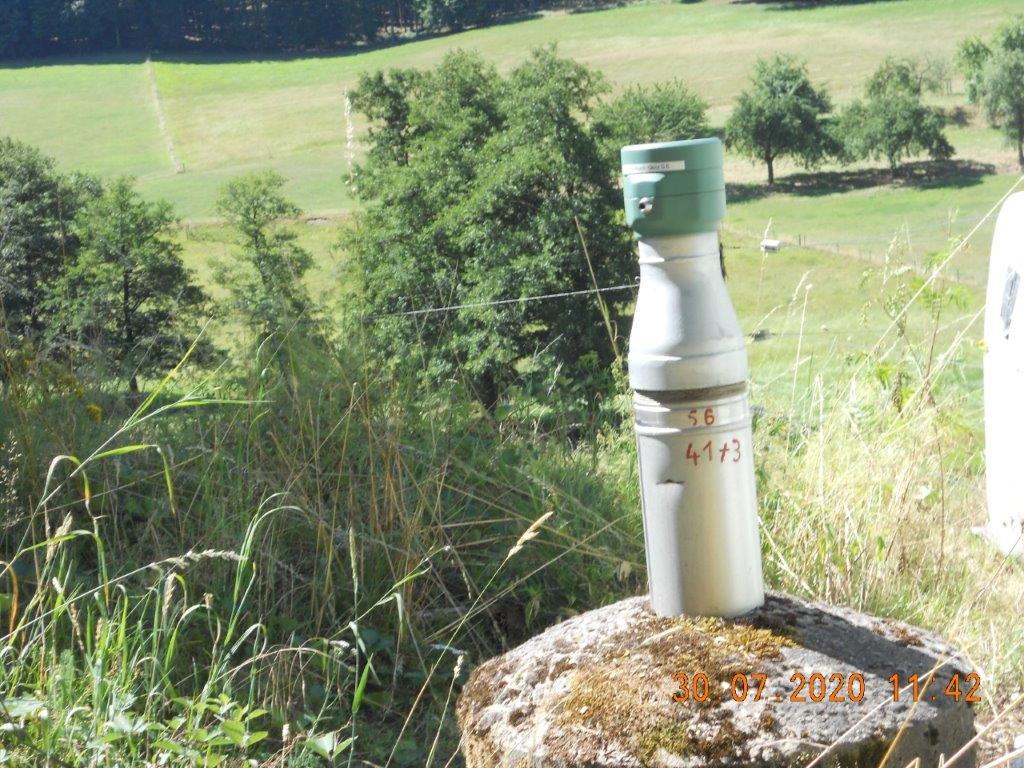
Master data Weilbach-Gönz S 6
Site number: 4173
Measuring point system: Grundnetz
Community: Weilbach
District: Miltenberg
Operator:  Wasserwirtschaftsamt Aschaffenburg
Aquifer: Unterer Buntsandstein
Measurement site depth under ground: 75.12 m
Ground level: 277.19 m above sealevel
Easting: 509410 (ETRS89 / UTM Zone 32N)
Northing: 5501933
Observation period: 07.12.1999 to 15.04.2024
Maximum waterlevel (HHW): 262.50 m above sealevel
Mean waterlevel (MW): 260.61 m above sealevel
Minimum waterlevel (NNW): 259.72 m above sealevel
Mean Highest Groundwater Level (MHGW): 261.33 m above sealevel (Period: 01.11.1999 - 01.11.2024)
Picture of the measurement site
Location of the station Weilbach-Gönz S 6
| Measurement site | Category |
|---|---|
 Weilbach Weilbach | Rivers: Runoff, Waterlevel |
| Rück | Rivers: Runoff, Waterlevel |
| Kleinheubach | Rivers: Runoff, Waterlevel, Water temperature, Water temperature |
| Hobbach | Rivers: Runoff, Waterlevel |