
- Start >
- Groundwater >
- Waterlevel of deep layer >
- Bayern >
- Ehingen >
- Master data

Master data Ehingen
Site number: 3137
Measuring point system: Grundnetz
Community: Ehingen
District: Ansbach
Operator:  Wasserwirtschaftsamt Ansbach
Aquifer: Burg- und Blasensandstein (Sandsteinkeuper)
Measurement site depth under ground: 101.00 m
Ground level: 472.49 m above sealevel
Easting: 612239 (ETRS89 / UTM Zone 32N)
Northing: 5437478
Observation period: 20.06.2000 to 24.04.2024
Maximum waterlevel (HHW): 439.25 m above sealevel
Mean waterlevel (MW): 438.36 m above sealevel
Minimum waterlevel (NNW): 437.68 m above sealevel
Mean Highest Groundwater Level (MHGW): 438.60 m above sealevel (Period: 01.11.1999 - 01.11.2024)
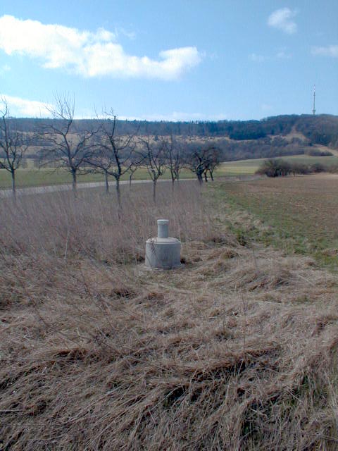
Picture of the measurement site
Location of the station Ehingen
| Measurement site | Category |
|---|---|
 Gerolfingen Gerolfingen | Rivers: Runoff, Waterlevel |
| Rödenweiler | Rivers: Runoff, Waterlevel |
| Thann | Rivers: Runoff, Waterlevel |
| Bechhofen | Rivers: Runoff, Waterlevel |