
- Start >
- Groundwater >
- Waterlevel of deep layer >
- Bayern >
- BRUNNEN / POSTAU 1 T16 >
- Master data

Master data BRUNNEN / POSTAU 1 T16
Site number: 15198
Measuring point system: Verdichtungsnetz
Community: Postau
District: Landshut
Operator:  Wasserwirtschaftsamt Landshut
Aquifer: Tertiär
Measurement site depth under ground: 81.60 m
Ground level: 390.71 m above sealevel
Easting: 744258 (ETRS89 / UTM Zone 32N)
Northing: 5393623
Observation period: 06.08.2007 to 24.04.2024
Maximum waterlevel (HHW): 376.38 m above sealevel
Mean waterlevel (MW): 375.53 m above sealevel
Minimum waterlevel (NNW): 374.89 m above sealevel
Mean Highest Groundwater Level (MHGW): 375.96 m above sealevel (Period: 01.11.2006 - 01.11.2024)
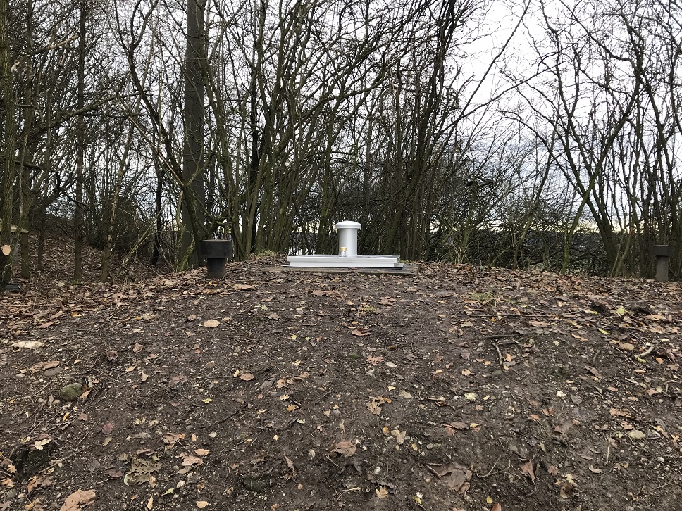
Picture of the measurement site
Location of the station BRUNNEN / POSTAU 1 T16
| Measurement site | Category |
|---|---|
 Grafentraubach Grafentraubach | Rivers: Runoff, Waterlevel |
| Landshut Birket | Rivers: Runoff, Waterlevel, Water temperature, Water temperature, Suspended sediment |
| Tiefenbach | Rivers: Runoff, Waterlevel |
| Aham | Rivers: Runoff, Waterlevel |