
- Start >
- Groundwater >
- Waterlevel of deep layer >
- Bayern >
- MOOSTHANN T6 >
- Master data

Master data MOOSTHANN T6
Site number: 15195
Measuring point system: Grundnetz
Community: Postau
District: Landshut
Operator:  Wasserwirtschaftsamt Landshut
Aquifer: Tertiär
Measurement site depth under ground: 77.00 m
Ground level: 402.41 m above sealevel
Easting: 741507 (ETRS89 / UTM Zone 32N)
Northing: 5395496
Observation period: 12.02.2007 to 15.04.2024
Maximum waterlevel (HHW): 395.01 m above sealevel
Mean waterlevel (MW): 394.18 m above sealevel
Minimum waterlevel (NNW): 393.23 m above sealevel
Mean Highest Groundwater Level (MHGW): 394.32 m above sealevel (Period: 01.11.2006 - 01.11.2024)
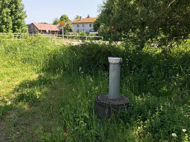
Picture of the measurement site
Location of the station MOOSTHANN T6
| Measurement site | Category |
|---|---|
 Grafentraubach Grafentraubach | Rivers: Runoff, Waterlevel |
| Landshut Birket | Rivers: Runoff, Waterlevel, Water temperature, Water temperature, Suspended sediment |
| Tiefenbach | Rivers: Runoff, Waterlevel |
| Aham | Rivers: Runoff, Waterlevel |