
- Start >
- Groundwater >
- Waterlevel of upper layer >
- Bayern >
- MAINASCHAFF MA 1 >
- Master data

Master data MAINASCHAFF MA 1
Site number: 4615
Measuring point system: Staatliches Sondernetz
Community: --
District: Aschaffenburg
Operator:  Wasserwirtschaftsamt Aschaffenburg
Aquifer: Quartär
Measurement site depth under ground: 7.50 m
Ground level: 113.24 m above sealevel
Easting: 505013 (ETRS89 / UTM Zone 32N)
Northing: 5536819
Observation period: 15.11.1960 to 18.04.2024
Maximum waterlevel (HHW): 109.98 m above sealevel
Mean waterlevel (MW): 108.89 m above sealevel
Minimum waterlevel (NNW): 107.10 m above sealevel
Mean Highest Groundwater Level (MHGW): 109.00 m above sealevel (Period: 01.11.1959 - 01.11.2024)
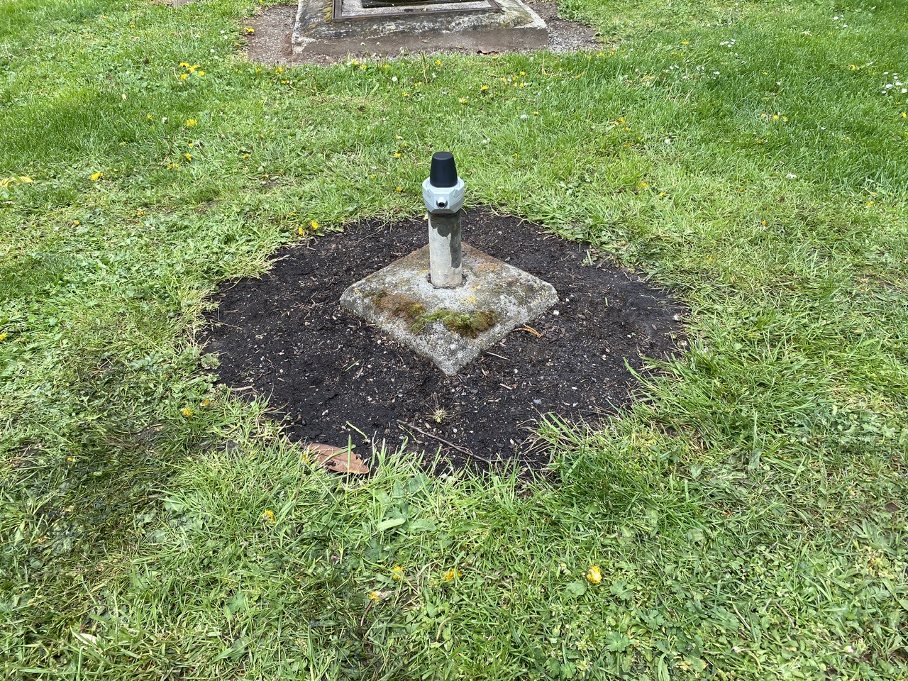
Picture of the measurement site
Location of the station MAINASCHAFF MA 1
| Measurement site | Category |
|---|---|
 Rück Rück | Rivers: Runoff, Waterlevel |
| Goldbach | Rivers: Runoff, Waterlevel |
| Alzenau | Rivers: Runoff, Waterlevel |
| Hobbach | Rivers: Runoff, Waterlevel |