
- Start >
- Groundwater >
- Waterlevel of upper layer >
- Bayern >
- Öko Isar 93-1 >
- Master data

Master data Öko Isar 93-1
Site number: 42666
Measuring point system: Staatliches Sondernetz
Community: --
District: Dingolfing-Landau
Operator:  Wasserwirtschaftsamt Landshut
Aquifer:
Measurement site depth under ground: 6.00 m
Ground level: 341.90 m above sealevel
Easting: 767616 (ETRS89 / UTM Zone 32N)
Northing: 5396891
Observation period: 16.07.2008 to 20.02.2024
Maximum waterlevel (HHW): 341.09 m above sealevel
Mean waterlevel (MW): 339.57 m above sealevel
Minimum waterlevel (NNW): 339.10 m above sealevel
Mean Highest Groundwater Level (MHGW): 340.29 m above sealevel (Period: 01.11.2007 - 01.11.2024)
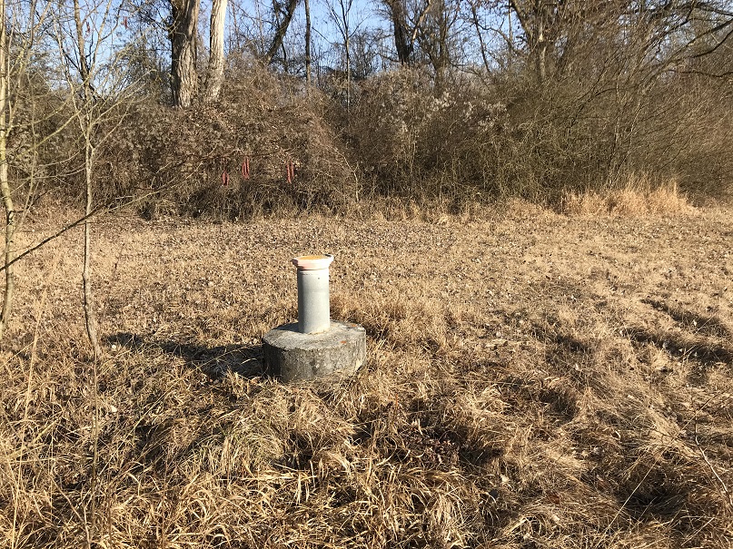
Picture of the measurement site
Location of the station Öko Isar 93-1
| Measurement site | Category |
|---|---|
 Pfelling Pfelling | Rivers: Runoff, Waterlevel |
| Salching | Rivers: Runoff, Waterlevel |
| Haberkofen | Rivers: Runoff, Waterlevel |
| Landau | Rivers: Runoff, Waterlevel, Water temperature, Water temperature |