
- Start >
- Groundwater >
- Waterlevel of upper layer >
- Bayern >
- ISAR-KM 22,500 LP 2 >
- Master data

Master data ISAR-KM 22,500 LP 2
Site number: 42637
Measuring point system: Staatliches Sondernetz
Community: --
District: Dingolfing-Landau
Operator:  Wasserwirtschaftsamt Landshut
Aquifer:
Measurement site depth under ground: 7.00 m
Ground level: 331.11 m above sealevel
Easting: 777750 (ETRS89 / UTM Zone 32N)
Northing: 5400132
Observation period: 01.11.1982 to 28.02.2024
Maximum waterlevel (HHW): 330.01 m above sealevel
Mean waterlevel (MW): 329.17 m above sealevel
Minimum waterlevel (NNW): 328.22 m above sealevel
Mean Highest Groundwater Level (MHGW): 329.42 m above sealevel (Period: 01.11.1981 - 01.11.2024)
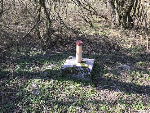
Picture of the measurement site
Location of the station ISAR-KM 22,500 LP 2
| Measurement site | Category |
|---|---|
 Pfelling Pfelling | Rivers: Runoff, Waterlevel |
| Salching | Rivers: Runoff, Waterlevel |
| Haberkofen | Rivers: Runoff, Waterlevel |
| Deggendorf | Rivers: Runoff, Waterlevel |