
- Start >
- Groundwater >
- Waterlevel of upper layer >
- Bayern >
- BEHRHOF - A 13 >
- Master data

Master data BEHRHOF - A 13
Site number: 42627
Measuring point system: Staatliches Sondernetz
Community: --
District: Dingolfing-Landau
Operator:  Wasserwirtschaftsamt Landshut
Aquifer:
Measurement site depth under ground: 6.00 m
Ground level: 352.33 m above sealevel
Easting: 758954 (ETRS89 / UTM Zone 32N)
Northing: 5396263
Observation period: 01.11.1980 to 19.02.2024
Maximum waterlevel (HHW): 352.74 m above sealevel
Mean waterlevel (MW): 351.75 m above sealevel
Minimum waterlevel (NNW): 351.14 m above sealevel
Mean Highest Groundwater Level (MHGW): 352.24 m above sealevel (Period: 01.11.1979 - 01.11.2024)
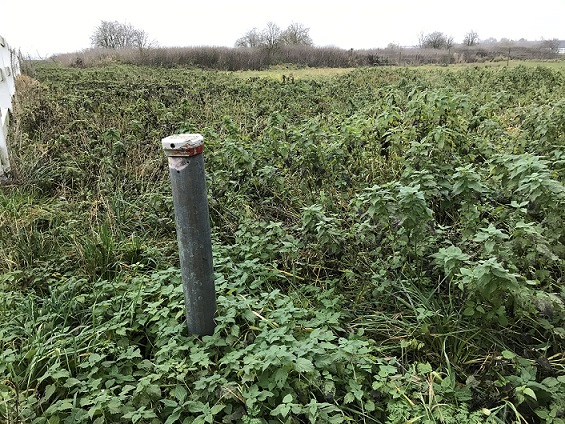
Picture of the measurement site
Location of the station BEHRHOF - A 13
| Measurement site | Category |
|---|---|
 Pfelling Pfelling | Rivers: Runoff, Waterlevel |
| Grafentraubach | Rivers: Runoff, Waterlevel |
| Salching | Rivers: Runoff, Waterlevel |
| Haberkofen | Rivers: Runoff, Waterlevel |