
- Start >
- Groundwater >
- Waterlevel of upper layer >
- Bayern >
- UNTERE ISAR SP 65 >
- Master data

Master data UNTERE ISAR SP 65
Site number: 42608
Measuring point system: Staatliches Sondernetz
Community: --
District: Dingolfing-Landau
Operator:  Wasserwirtschaftsamt Landshut
Aquifer:
Measurement site depth under ground: 5.00 m
Ground level: 341.62 m above sealevel
Easting: 768079 (ETRS89 / UTM Zone 32N)
Northing: 5396713
Observation period: 01.11.1979 to 20.02.2024
Maximum waterlevel (HHW): 340.74 m above sealevel
Mean waterlevel (MW): 339.15 m above sealevel
Minimum waterlevel (NNW): 338.20 m above sealevel
Mean Highest Groundwater Level (MHGW): 339.65 m above sealevel (Period: 01.11.1978 - 01.11.2024)
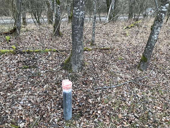
Picture of the measurement site
Location of the station UNTERE ISAR SP 65
| Measurement site | Category |
|---|---|
 Pfelling Pfelling | Rivers: Runoff, Waterlevel |
| Salching | Rivers: Runoff, Waterlevel |
| Haberkofen | Rivers: Runoff, Waterlevel |
| Landau | Rivers: Runoff, Waterlevel, Water temperature, Water temperature |