
- Start >
- Groundwater >
- Waterlevel of upper layer >
- Bayern >
- Güntersleben >
- Master data

Master data Güntersleben
Site number: 27132
Measuring point system: Grundnetz
Community: Güntersleben
District: Würzburg
Operator:  Wasserwirtschaftsamt Aschaffenburg
Aquifer: Mittlerer Muschelkalk
Measurement site depth under ground: 33.50 m
Ground level: 261.17 m above sealevel
Easting: 566752 (ETRS89 / UTM Zone 32N)
Northing: 5526824
Observation period: 26.05.2000 to 11.04.2024
Maximum waterlevel (HHW): 257.98 m above sealevel
Mean waterlevel (MW): 242.92 m above sealevel
Minimum waterlevel (NNW): 236.15 m above sealevel
Mean Highest Groundwater Level (MHGW): 250.30 m above sealevel (Period: 01.11.1999 - 01.11.2024)
Picture of the measurement site
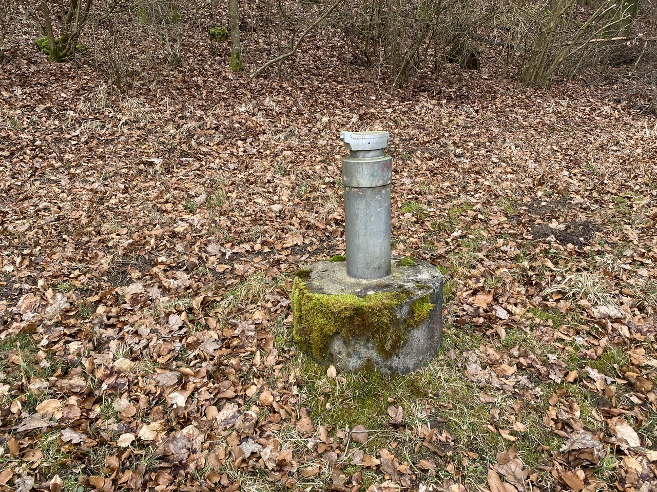
Location of the station Güntersleben
| Measurement site | Category |
|---|---|
 Gräfendorf Gräfendorf | Rivers: Runoff, Waterlevel, Water temperature, Water temperature |
| Arnstein | Rivers: Runoff, Waterlevel, Water temperature, Water temperature |
| Wolfsmünster | Rivers: Runoff, Waterlevel, Water temperature, Water temperature, Suspended sediment |
| Würzburg | Rivers: Runoff, Waterlevel, Water temperature, Water temperature |