
- Start >
- Groundwater >
- Waterlevel of upper layer >
- Bayern >
- HINTERSEE 765 >
- Master data

Master data HINTERSEE 765
Site number: 23189
Measuring point system: Staatliches Sondernetz
Community: Ramsau b.Berchtesgaden
District: Berchtesgadener Land
Operator:  Wasserwirtschaftsamt Traunstein
Aquifer: Quartär
Measurement site depth under ground: 15.80 m
Ground level: 798.62 m above sealevel
Easting: 788975 (ETRS89 / UTM Zone 32N)
Northing: 5278842
Observation period: 09.05.1977 to 02.04.2024
Maximum waterlevel (HHW): 797.96 m above sealevel
Mean waterlevel (MW): 795.42 m above sealevel
Minimum waterlevel (NNW): 792.75 m above sealevel
Mean Highest Groundwater Level (MHGW): 796.89 m above sealevel (Period: 01.11.1976 - 01.11.2024)
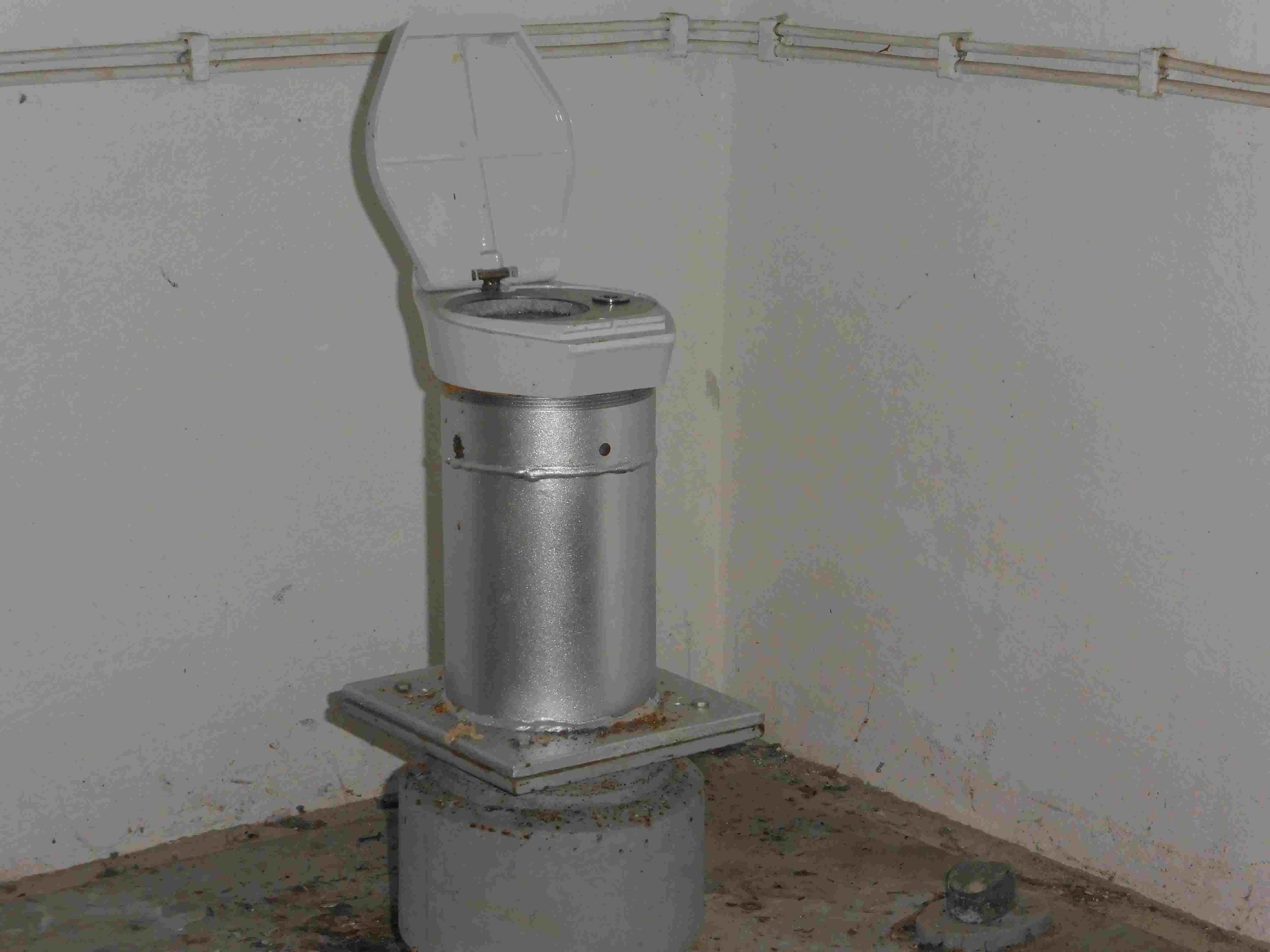
Picture of the measurement site
Location of the station HINTERSEE 765
| Measurement site | Category |
|---|---|
 Hochberg Hochberg | Rivers: Runoff, Waterlevel |
| Fritz am Sand | Rivers: Runoff, Waterlevel |
| Siegsdorf | Rivers: Runoff, Waterlevel |
| Wernleiten | Rivers: Runoff, Waterlevel |