
- Start >
- Groundwater >
- Waterlevel of upper layer >
- Bayern >
- BERGRHEINFELD 70 >
- Master data

Master data BERGRHEINFELD 70
Site number: 22100
Measuring point system: Verdichtungsnetz
Community: --
District: Schweinfurt
Operator:  Wasserwirtschaftsamt Bad Kissingen
Aquifer: Unterer Keuper
Measurement site depth under ground: 27.90 m
Ground level: 234.31 m above sealevel
Easting: 582883 (ETRS89 / UTM Zone 32N)
Northing: 5538589
Observation period: 03.01.1938 to 24.04.2024
Maximum waterlevel (HHW): 211.75 m above sealevel
Mean waterlevel (MW): 208.61 m above sealevel
Minimum waterlevel (NNW): 207.11 m above sealevel
Mean Highest Groundwater Level (MHGW): 209.16 m above sealevel (Period: 01.11.1937 - 01.11.2024)
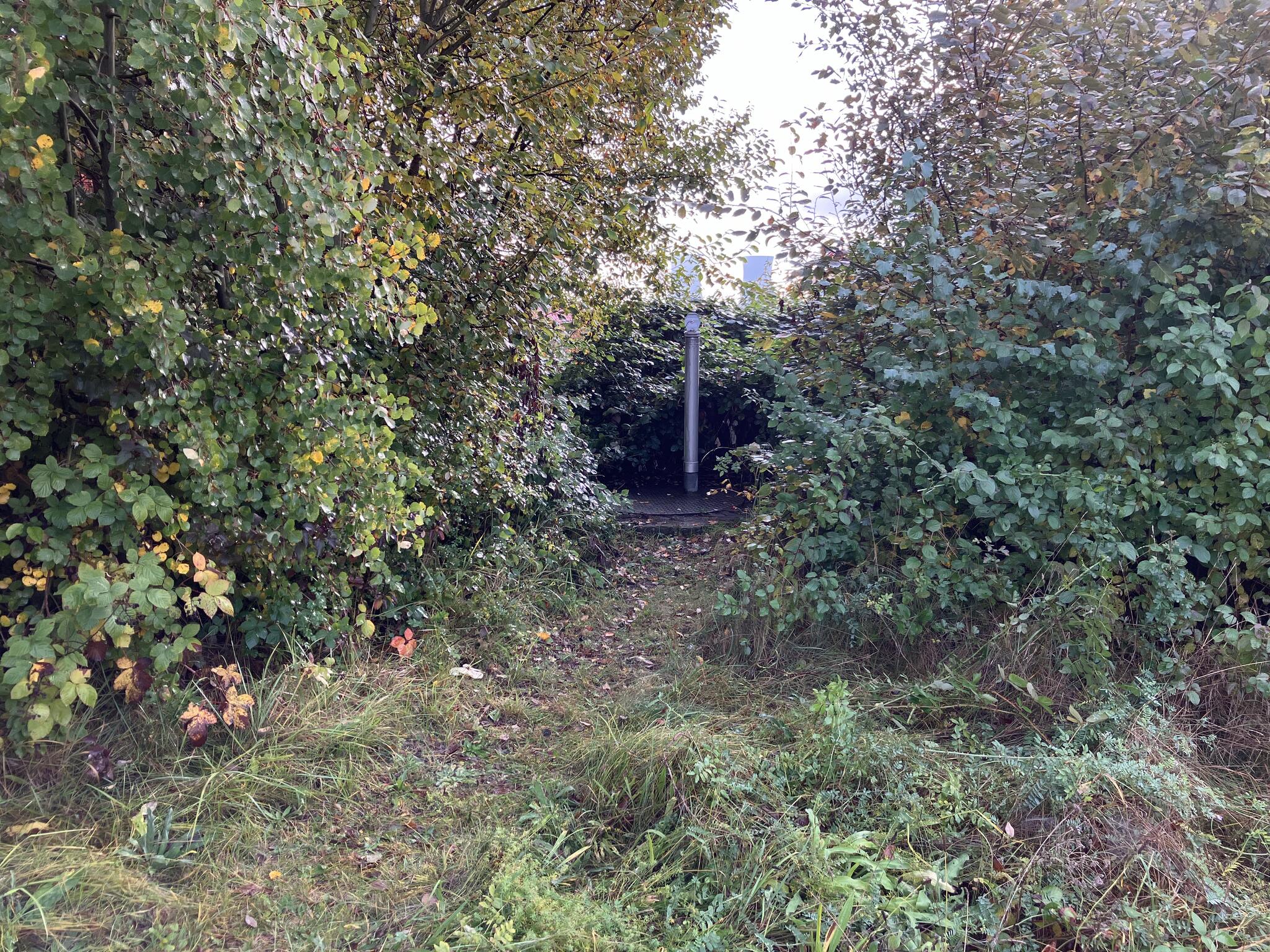
Picture of the measurement site
Location of the station BERGRHEINFELD 70
| Measurement site | Category |
|---|---|
 Dingolshausen Dingolshausen | Rivers: Runoff, Waterlevel |
| Arnstein | Rivers: Runoff, Waterlevel, Water temperature, Water temperature |
| Poppenlauer | Rivers: Runoff, Waterlevel |
| Oberthulba | Rivers: Runoff, Waterlevel |