
- Start >
- Groundwater >
- Waterlevel of upper layer >
- Bayern >
- Blaibach Quelle 1-4 >
- Master data

Master data Blaibach Quelle 1-4
Site number: 20565
Measuring point system: Grundnetz
Community: Miltach
District: Cham
Operator:  Wasserwirtschaftsamt Regensburg
Aquifer:
Measurement site depth under ground: --
Ground level: --
Easting: 777736 (ETRS89 / UTM Zone 32N)
Northing: 5450666
Observation period: - to -
Maximum waterlevel (HHW): --
Mean waterlevel (MW): --
Minimum waterlevel (NNW): --
Mean Highest Groundwater Level (MHGW): -- m above sealevel (Period: )
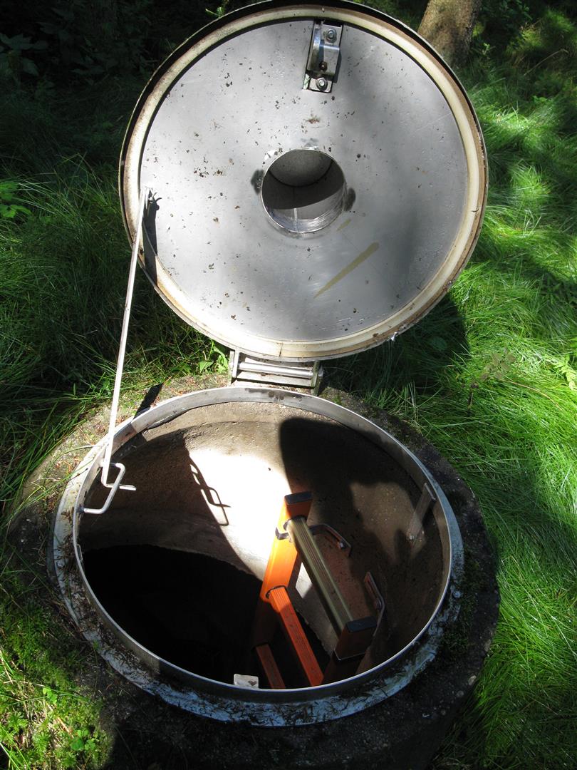
Picture of the measurement site
Location of the station Blaibach Quelle 1-4
| Measurement site | Category |
|---|---|
 Chamerau Chamerau | Rivers: Runoff, Waterlevel |
| Sägmühle | Rivers: Runoff, Waterlevel |
| Viechtach Reibenmühle | Rivers: Runoff, Waterlevel |
| Kötzting | Rivers: Runoff, Waterlevel |
© Bayerisches Landesamt für Umwelt 2024