
- Start >
- Groundwater >
- Waterlevel of upper layer >
- Bayern >
- Simbach GWM BR1 >
- Master data

Master data Simbach GWM BR1
Site number: 18691
Measuring point system: Staatliches Sondernetz
Community: --
District:
Operator:  Wasserwirtschaftsamt Deggendorf
Aquifer:
Measurement site depth under ground: --
Ground level: 347.15 m above sealevel
Easting: 798765 (ETRS89 / UTM Zone 32N)
Northing: 5353975
Observation period: 07.10.2021 to 02.11.2023
Maximum waterlevel (HHW): 344.40 m above sealevel
Mean waterlevel (MW): 343.95 m above sealevel
Minimum waterlevel (NNW): 343.83 m above sealevel
Mean Highest Groundwater Level (MHGW): 344.19 m above sealevel (Period: 01.11.2020 - 01.11.2024)
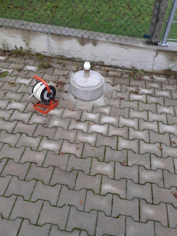
Picture of the measurement site
Location of the station Simbach GWM BR1
| Measurement site | Category |
|---|---|
 Burghausen Burghausen | Rivers: Runoff, Waterlevel |
| Simbach | Rivers: Runoff, Waterlevel |
| Linden | Rivers: Runoff, Waterlevel, Suspended sediment |
| Postmünster | Rivers: Runoff, Waterlevel |