
- Start >
- Groundwater >
- Waterlevel of upper layer >
- Bayern >
- Altbach B8 >
- Master data

Master data Altbach B8
Site number: 18687
Measuring point system: Staatliches Sondernetz
Community: --
District:
Operator:  Wasserwirtschaftsamt Deggendorf
Aquifer:
Measurement site depth under ground: --
Ground level: 373.10 m above sealevel
Easting: 797928 (ETRS89 / UTM Zone 32N)
Northing: 5370120
Observation period: 21.04.2021 to 05.02.2024
Maximum waterlevel (HHW): 373.34 m above sealevel
Mean waterlevel (MW): 371.99 m above sealevel
Minimum waterlevel (NNW): 371.83 m above sealevel
Mean Highest Groundwater Level (MHGW): 372.98 m above sealevel (Period: 01.11.2020 - 01.11.2024)
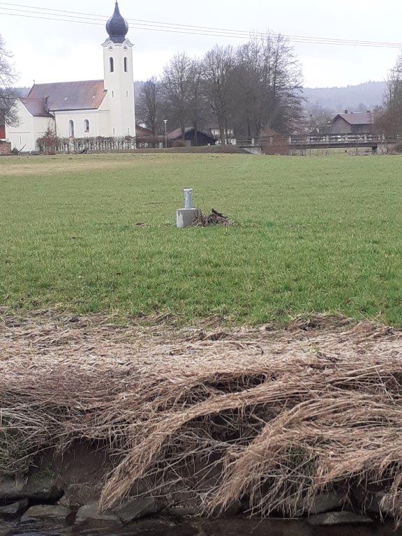
Picture of the measurement site
Location of the station Altbach B8
| Measurement site | Category |
|---|---|
 Grafenmühle Grafenmühle | Rivers: Runoff, Waterlevel, Water temperature, Water temperature |
| Bruckhäuser | Rivers: Runoff, Waterlevel |
| Neustift | Rivers: Runoff, Waterlevel |
| Simbach | Rivers: Runoff, Waterlevel |