
- Start >
- Groundwater >
- Waterlevel of upper layer >
- Bayern >
- ROTTERSDORF ZA 17 >
- Master data

Master data ROTTERSDORF ZA 17
Site number: 15209
Measuring point system: Staatliches Sondernetz
Community: --
District: Dingolfing-Landau
Operator:  Wasserwirtschaftsamt Landshut
Aquifer: Quartär
Measurement site depth under ground: 8.00 m
Ground level: 377.43 m above sealevel
Easting: 772072 (ETRS89 / UTM Zone 32N)
Northing: 5390575
Observation period: 05.01.2005 to 03.04.2024
Maximum waterlevel (HHW): 377.06 m above sealevel
Mean waterlevel (MW): 375.26 m above sealevel
Minimum waterlevel (NNW): 374.73 m above sealevel
Mean Highest Groundwater Level (MHGW): 375.89 m above sealevel (Period: 01.11.2004 - 01.11.2024)
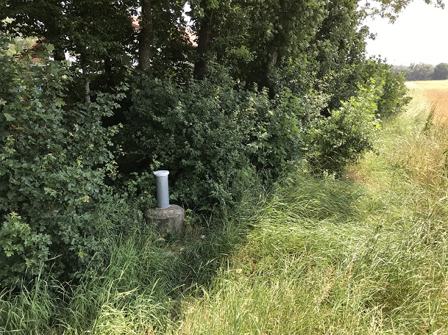
Picture of the measurement site
Location of the station ROTTERSDORF ZA 17
| Measurement site | Category |
|---|---|
 Salching Salching | Rivers: Runoff, Waterlevel |
| Haberkofen | Rivers: Runoff, Waterlevel |
| Landau | Rivers: Runoff, Waterlevel, Water temperature, Water temperature |
| Plattling | Rivers: Runoff, Waterlevel, Suspended sediment |