
- Start >
- Groundwater >
- Waterlevel of upper layer >
- Bayern >
- Blaichach / Spielplatz 12 >
- Master data

Master data Blaichach / Spielplatz 12
Site number: 13650
Measuring point system: Staatliches Sondernetz
Community: Blaichach
District: Oberallgäu
Operator:  Wasserwirtschaftsamt Kempten
Aquifer:
Measurement site depth under ground: --
Ground level: 725.69 m above sealevel
Easting: 595079 (ETRS89 / UTM Zone 32N)
Northing: 5266325
Observation period: 27.02.2003 to 16.04.2018
Maximum waterlevel (HHW): 724.46 m above sealevel
Mean waterlevel (MW): 721.64 m above sealevel
Minimum waterlevel (NNW): 721.21 m above sealevel
Mean Highest Groundwater Level (MHGW): 722.88 m above sealevel (Period: 01.11.2002 - 01.11.2018)
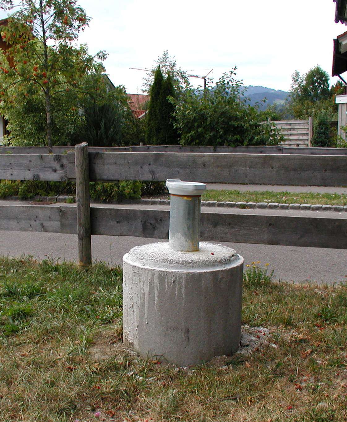
Picture of the measurement site
Location of the station Blaichach / Spielplatz 12
| Measurement site | Category |
|---|---|
 Sonthofen Sonthofen | Rivers: Runoff, Waterlevel, Water temperature, Water temperature |
| Kempten | Rivers: Runoff, Waterlevel, Water temperature, Water temperature, Suspended sediment |
| Birgsau | Rivers: Runoff, Waterlevel |
| Oberstdorf | Rivers: Runoff, Waterlevel |