
- Start >
- Groundwater >
- Waterlevel of upper layer >
- Bayern >
- Winhöring GWM1 >
- Master data

Master data Winhöring GWM1
Site number: 23892
Measuring point system: Staatliches Sondernetz
Community: Winhöring
District: Altötting
Operator:  Wasserwirtschaftsamt Traunstein
Aquifer:
Measurement site depth under ground: 10.50 m
Ground level: 378.89 m above sealevel
Easting: 770720 (ETRS89 / UTM Zone 32N)
Northing: 5352537
Observation period: 02.01.2023 to 05.11.2025
Hauptwerte (Tagesmittelwerte):
Maximum waterlevel (HHW): 376.17 m above sealevel
Mean waterlevel (MW): 374.97 m above sealevel
Minimum waterlevel (NNW): 374.62 m above sealevel
Mean Highest Groundwater Level (MHGW): 375.35 m above sealevel (Period: 01.11.2022 - 01.11.2026)
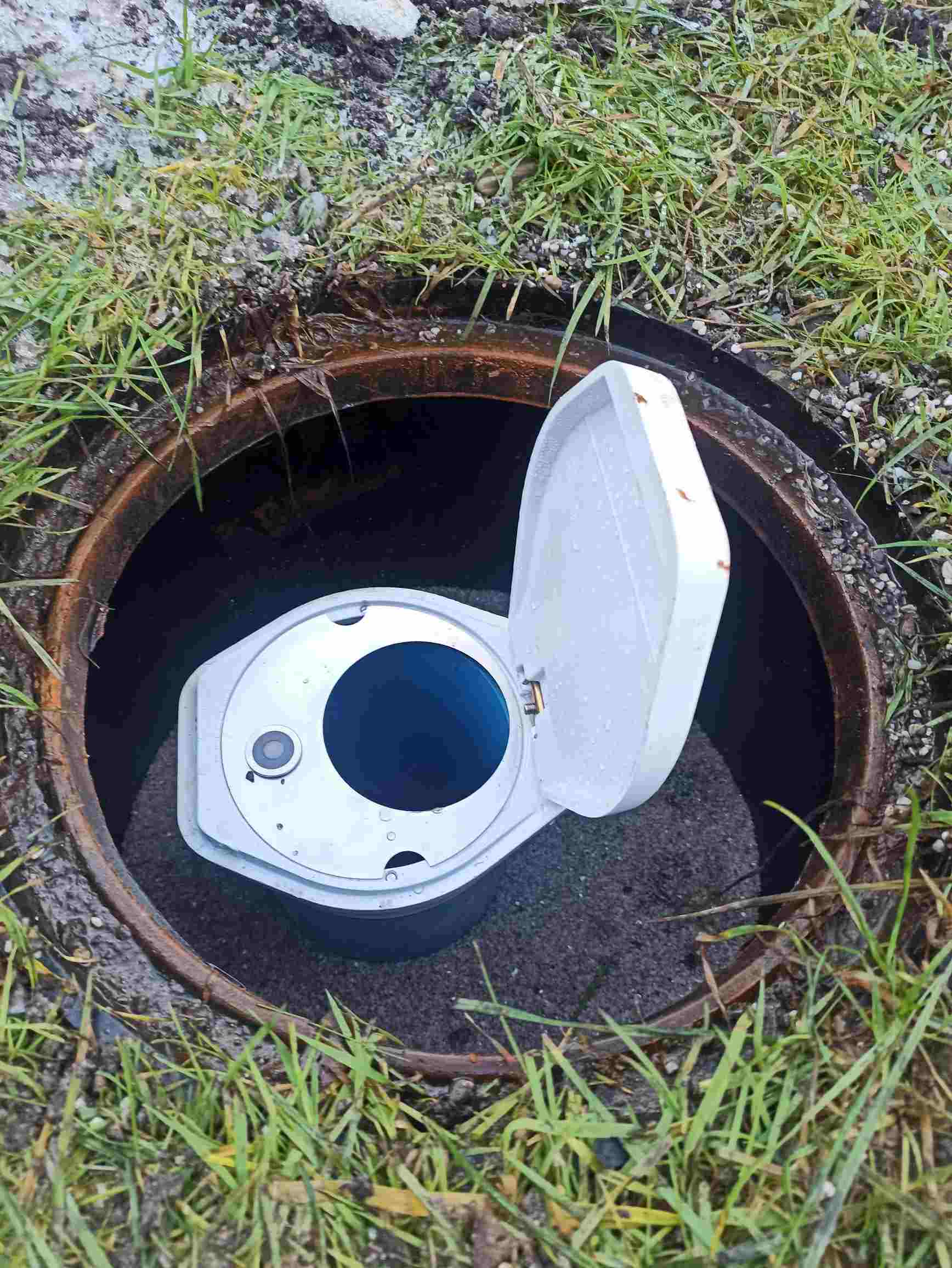
Picture of the measurement site
Location of the station Winhöring GWM1
| Measurement site | Category |
|---|---|
 Kraiburg Kraiburg | Rivers: Runoff, Waterlevel |
| Mühldorf | Rivers: Runoff, Waterlevel |
| Eschelbach | Rivers: Runoff, Waterlevel, Suspended sediment |
| Eschelbach Q | Rivers: Runoff |