
- Start >
- Rivers >
- Waterlevel >
- Inn >
- Weg >
- Chart of year

Chart of year Weg / Isen
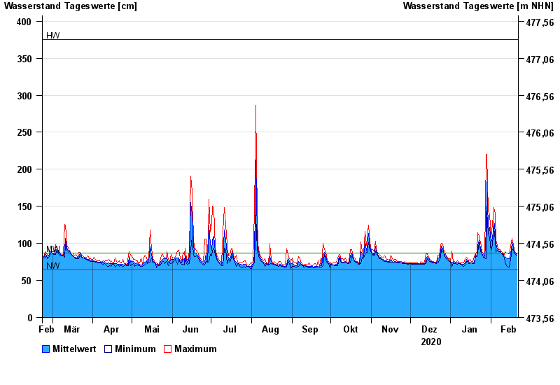
Waterlevel from 22.02.2020 to 21.02.2021
| Date | Mean value [cm] | Maximum [cm] | Minimum [cm] |
|---|---|---|---|
| 21.02.2021 | 84 | 86 | 84 |
| 20.02.2021 | 87 | 88 | 85 |
| 19.02.2021 | 89 | 91 | 88 |
| 18.02.2021 | 94 | 98 | 91 |
| 17.02.2021 | 101 | 107 | 93 |
| 16.02.2021 | 85 | 95 | 78 |
| 15.02.2021 | 79 | 86 | 68 |
© Bayerisches Landesamt für Umwelt 2024