

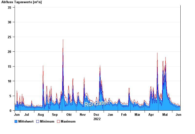
Chart of year Anger / Attel
Discharge from 19.06.2022 to 18.06.2023
- 02.08.1991 Abfluss: 106 m³/s
- 03.06.2013 Abfluss: 85,9 m³/s
- 09.07.1954 Abfluss: 85 m³/s
- 18.06.1979 Abfluss: 77,1 m³/s
- 22.05.1999 Abfluss: 74,2 m³/s
| Date | Mean value [m³/s] | Maximum [m³/s] | Minimum [m³/s] |
|---|---|---|---|
| 18.06.2023 | 1.41 | 1.83 | 0.987 |
| 17.06.2023 | 1.53 | 1.83 | 1.37 |
| 16.06.2023 | 1.48 | 1.59 | 1.37 |
| 15.06.2023 | 1.44 | 1.59 | 1.37 |
| 14.06.2023 | 1.59 | 2.08 | 1.16 |
| 13.06.2023 | 1.61 | 2.33 | 0.987 |
| 12.06.2023 | 1.64 | 2.08 | 1.16 |
© Bayerisches Landesamt für Umwelt 2024