
- Start >
- Meteorology >
- Global radiation >
- Untere Donau >
- Neumarkt-Sankt Veit >
- Master data

Master data Neumarkt-Sankt Veit
Site number: 3535
Community: Neumarkt-Sankt Veit
District: Mühldorf a. Inn
Operator: Bayerisches Landesamt für Umwelt
Easting: 758718 (ETRS89 / UTM Zone 32N)
Northing: 5361977
Ground level: 440 m above sealevel
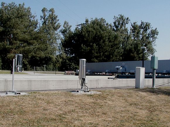
Picture of the measurement site
Location of the station Neumarkt-Sankt Veit
| Measurement site | Category |
|---|---|
 Aham Aham | Rivers: Runoff, Waterlevel |
| Rottersdorf | Rivers: Runoff, Waterlevel, Water temperature, Water temperature |
| Dietelskirchen | Rivers: Runoff, Waterlevel, Water temperature, Water temperature |
| Kollbach | Rivers: Runoff, Waterlevel |
© Bayerisches Landesamt für Umwelt 2024