
- Start >
- Lakes >
- Biology >
- Iller - Lech - Bodensee >
- Tiefste Stelle, 300 m oh.Wehr >
- Master data

Master data Tiefste Stelle, 300 m oh.Wehr
Site number: 2232
Community: Oy-Mittelberg
District: Oberallgäu
Operator: WWA Kempten
Body of water: Rottachsee
Catchment: 30.20 km2
Easting: 602476 (ETRS89 / UTM Zone 32N)
Northing: 5276479
- state measurement sites
For the measurement site Tiefste Stelle, 300 m oh.Wehr at the moment no extended master data available.
Picture of the measurement site
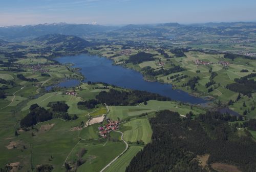
Location of the station Tiefste Stelle, 300 m oh.Wehr / Rottachsee
| Measurement site | Category |
|---|---|
 Sonthofen Sonthofen | Rivers: Runoff, Waterlevel, Water temperature, Water temperature |
| Kempten | Rivers: Runoff, Waterlevel, Water temperature, Water temperature, Suspended sediment |
| Oberstdorf | Rivers: Runoff, Waterlevel |
| Schöllang | Rivers: Runoff, Waterlevel |
© Bayerisches Landesamt für Umwelt 2024