
- Start >
- Groundwater >
- Waterlevel of upper layer >
- Untere Donau >
- Strahlfeld Quelle 1 >
- Master data

Master data Strahlfeld Quelle 1
Site number: 20563
Measuring point system: Grundnetz
Community: Roding
District: Cham
Operator:  Wasserwirtschaftsamt Regensburg
Aquifer: Sonstige GwLeiter (allg.)
Measurement site depth under ground: --
Ground level: 440.00 m above sealevel
Easting: 753085 (ETRS89 / UTM Zone 32N)
Northing: 5461292
Observation period: - to -
Maximum waterlevel (HHW): --
Mean waterlevel (MW): --
Minimum waterlevel (NNW): --
Mean Highest Groundwater Level (MHGW): -- m above sealevel (Period: )
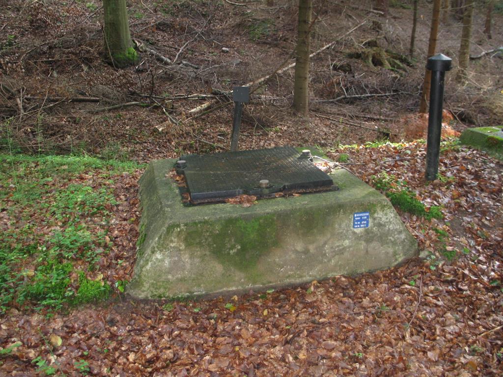
Picture of the measurement site
Location of the station Strahlfeld Quelle 1
| Measurement site | Category |
|---|---|
 Höll Höll | Rivers: Runoff, Waterlevel |
| Rötz Speicherzufluss | Rivers: Runoff, Waterlevel |
| Tiefenbach | Rivers: Runoff, Waterlevel |
| Untereppenried | Rivers: Runoff, Waterlevel |