
- Start >
- Groundwater >
- Waterlevel of upper layer >
- Obere Donau >
- GENNACH 978 >
- Master data

Master data GENNACH 978
Site number: 8248
Measuring point system: Verdichtungsnetz
Community: --
District: Augsburg
Operator:  Wasserwirtschaftsamt Donauwörth
Aquifer: Schotterflächen
Measurement site depth under ground: 10.70 m
Ground level: 574.95 m above sealevel
Easting: 626523 (ETRS89 / UTM Zone 32N)
Northing: 5330698
Observation period: 01.11.1983 to 14.12.2023
Maximum waterlevel (HHW): 574.73 m above sealevel
Mean waterlevel (MW): 573.84 m above sealevel
Minimum waterlevel (NNW): 573.18 m above sealevel
Mean Highest Groundwater Level (MHGW): 574.18 m above sealevel (Period: 01.11.1982 - 01.11.2024)
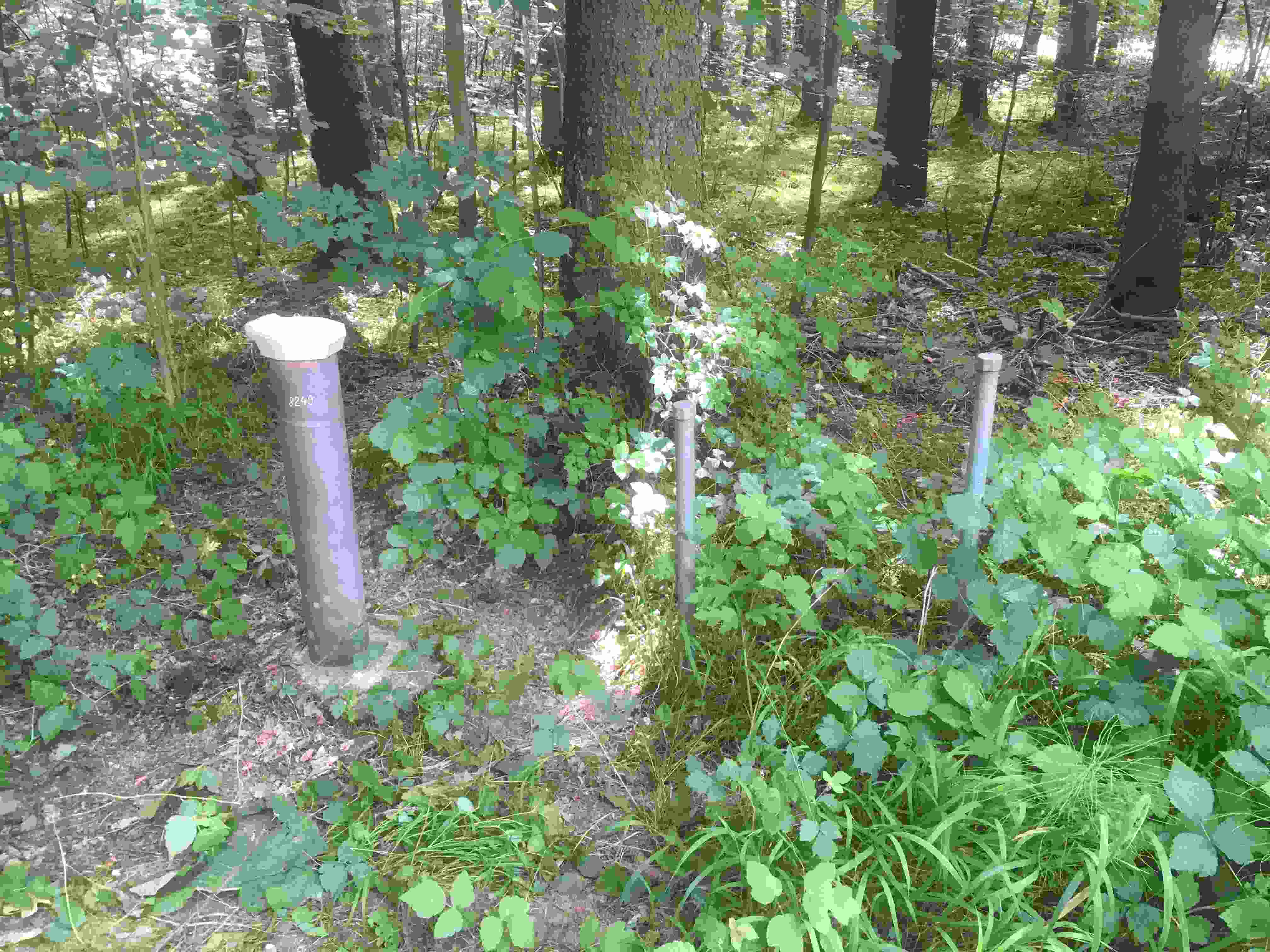
Picture of the measurement site
Location of the station GENNACH 978
| Measurement site | Category |
|---|---|
 Zaisertshofen Zaisertshofen | Rivers: Runoff, Waterlevel |
| Fleinhausen | Rivers: Runoff, Waterlevel |
| Fischach | Rivers: Runoff, Waterlevel |
| Landsberg | Rivers: Runoff, Waterlevel |