
- Start >
- Groundwater >
- Waterlevel of upper layer >
- Isar >
- TODTENWEIS 738 >
- Current data

Current data TODTENWEIS 738
Groundwater levels of the last 12 months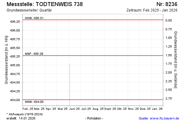
Groundwater level [m above sealevel]: 435.58
Distance to surface [m]: 1.21
Last value from 18.12.2023 10:00
Ground level [m above sealevel]: 436.79
| Date | Groundwater level [m above sealevel] |
|---|---|
| 14.06.2023 | 435.07 |
| 30.11.2022 | 435.06 |
| 20.06.2022 | 434.99 |
| 10.12.2021 | 435.22 |
| 20.07.2021 | 435.72 |
| 07.12.2020 | 435.04 |
| 04.06.2020 | 434.96 |
| 24.10.2019 | 435.01 |
© Bayerisches Landesamt für Umwelt 2024